Earthquake 6 km SSE of Malibu Beach, CA
Mon, 02 Feb 2026 05:02:35 GMT
Time20 hours ago
Location
33.9783, -118.6733
Depth
12.8 KM
Event Summary
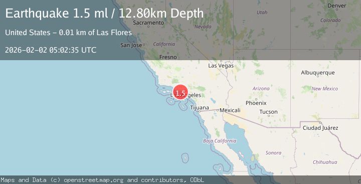
A 1.5 magnitude earthquake struck on 6 km SSE of Malibu Beach, CA, at Mon, 02 Feb 2026 05:02:35 GMT. Depth: 12.8000001907349km. Reviewed by USGS seismologists, this minor quake occurred at a magnitude type of ml.
Magnitude
1.5
ml
Source
USGS
Intensity
-
Agency Reports
1 Sources| Source | Magnitude | Depth | Time |
|---|---|---|---|
| USGSPrimary | 1.5 | 13 km | 20 hours ago |
Earthquake Details
AutomaticEvent IDusgs_ci41177983
Tsunami PotentialNo
Magnitude Typeml
Nearest Places
- Malibu Point5.9 km
- Malibu Creek6.0 km
- Malibu Lagoon6.1 km
- Malibu Beach6.1 km
- Malibu Lagoon State Beach6.1 km
Comments
Join the discussion about this event.
Latest Earthquakes
1.7Mag
44 km NW of Tatitlek, Alaska
Time49 minutes ago
Depth5.00 km
SourceUSGS (Automatic)
2.1Mag
Sumbawa Region, Indonesia
Time49 minutes ago
Depth10.00 km
SourceBMKG (Automatic)
1.8Mag
4 km SE of San Ramon, CA
Time53 minutes ago
Depth6.96 km
SourceUSGS (Automatic)
3.3Mag
Java, Indonesia
Time55 minutes ago
Depth90.20 km
SourceBMKG (Automatic)
4.3Mag
TARAPACA, CHILE
Time56 minutes ago
Depth54.00 km
SourceCSLC (Automatic)
Nearby Earthquakes
2.0Mag
9 km SE of Malibu, CA
Time23 hours ago
Depth12.52 km
SourceUSGS (Automatic)
2.1Mag
GREATER LOS ANGELES AREA, CALIF.
Time1 week ago
Depth2.90 km
SourceSCSN (Automatic)
1.6Mag
9 km NW of Malibu, CA
Time4 days ago
Depth12.06 km
SourceUSGS (Automatic)
1.7Mag
1 km SSE of Carson, CA
Time1 week ago
Depth7.81 km
SourceUSGS (Automatic)
1.3Mag
8 km NE of La Crescenta-Montrose, CA
Time1 week ago
Depth8.25 km
SourceUSGS (Automatic)