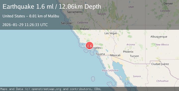
Earthquake 9 km NW of Malibu, CA
Thu, 29 Jan 2026 11:26:33 GMT
Time7 hours ago
Location
34.0592, -118.8768
Depth
12.1 KM
Event Summary
A 1.6 magnitude earthquake struck on 9 km NW of Malibu, CA, at Thu, 29 Jan 2026 11:26:33 GMT. Depth: 12.0600004196167km. Reviewed by USGS seismologists, this minor quake occurred at a magnitude type of ml.
Magnitude
1.6
ml
Source
USGS
Intensity
-
Agency Reports
1 Sources| Source | Magnitude | Depth | Time |
|---|---|---|---|
| USGSPrimary | 1.6 | 12 km | 7 hours ago |
Earthquake Details
AutomaticEvent IDusgs_ci41175535
Tsunami PotentialNo
Magnitude Typeml
Nearest Places
Comments
Join the discussion about this event.
Latest Earthquakes
2.6Mag
WESTERN TEXAS
Time4 minutes ago
Depth5.90 km
SourceTX (Automatic)
2.8Mag
West Papua Region, Indonesia
Time22 minutes ago
Depth19.31 km
SourceBMKG (Automatic)
1.8Mag
9 km NW of The Geysers, CA
Time30 minutes ago
Depth1.95 km
SourceUSGS (Automatic)
1.9Mag
32 km ENE of Boulder City, Nevada
Time32 minutes ago
Depth5.75 km
SourceUSGS (Automatic)
3.1Mag
SAN JUAN, ARGENTINA
Time34 minutes ago
Depth10.00 km
SourceNSNA (Automatic)
Nearby Earthquakes
2.1Mag
GREATER LOS ANGELES AREA, CALIF.
Time2 days ago
Depth2.90 km
SourceSCSN (Automatic)
1.8Mag
7 km W of Oxnard, CA
Time4 days ago
Depth4.15 km
SourceUSGS (Automatic)
2.2Mag
SOUTHERN CALIFORNIA
Time4 days ago
Depth11.90 km
SourceSCSN (Automatic)
1.3Mag
11 km N of Piru, CA
Time3 days ago
Depth6.34 km
SourceUSGS (Automatic)
1.7Mag
1 km SSE of Carson, CA
Time5 days ago
Depth7.81 km
SourceUSGS (Automatic)