Earthquake 12 km ENE of Ridgecrest, CA
Wed, 04 Mar 2026 21:24:01 GMT
Time3 hours ago
Location
35.6728, -117.5615
Depth
7.0 KM
Event Summary
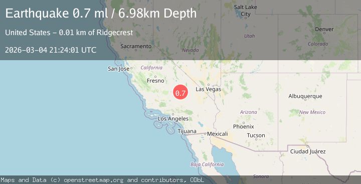
A 0.7 magnitude earthquake struck on 12 km ENE of Ridgecrest, CA, at Wed, 04 Mar 2026 21:24:01 GMT. Depth: 6.98km. Reviewed by USGS seismologists, this minor quake occurred at a magnitude type of ml.
Magnitude
0.7
ml
Source
USGS
Intensity
-
Agency Reports
1 Sources| Source | Magnitude | Depth | Time |
|---|---|---|---|
| USGSPrimary | 0.7 | 7 km | 3 hours ago |
Earthquake Details
AutomaticEvent IDusgs_ci41197367
Tsunami PotentialNo
Magnitude Typeml
Nearest Places
- 2.1 km
- 3.5 km
- 5.0 km
- 5.1 km
- 5.3 km
Comments
Join the discussion about this event.
Latest Earthquakes
1.7Mag
Northern Territory, Australia
Time3 hours ago
Depth271.85 km
SourceVYT (Automatic)
2.5Mag
Sumbawa Region, Indonesia
Time3 hours ago
Depth29.35 km
SourceBMKG
0.6Mag
Washington
Time3 hours ago
Depth0.00 km
SourceVYT (Automatic)
0.9Mag
Washington
Time3 hours ago
Depth0.00 km
SourceVYT (Automatic)
3.2Mag
OFFSHORE EL SALVADOR
Time3 hours ago
Depth25.00 km
SourceINET (Automatic)
Nearby Earthquakes
1.3Mag
11 km ENE of Ridgecrest, CA
Time1 month ago
Depth3.18 km
SourceUSGS (Automatic)
3.0Mag
SOUTHERN CALIFORNIA
Time2 years ago
Depth7.00 km
SourceNEIR (Automatic)
0.7Mag
13 km ENE of Ridgecrest, CA
Time1 month ago
Depth7.22 km
SourceUSGS (Automatic)
3.0Mag
SOUTHERN CALIFORNIA
Time6 years ago
Depth3.00 km
SourceNEIC (Automatic)
1.6Mag
13 km ENE of Ridgecrest, CA
Time1 month ago
Depth7.78 km
SourceUSGS (Automatic)