Earthquake 11 km ENE of Ridgecrest, CA
Thu, 29 Jan 2026 03:21:33 GMT
Time4 hours ago
Location
35.6722, -117.5678
Depth
3.2 KM
Event Summary
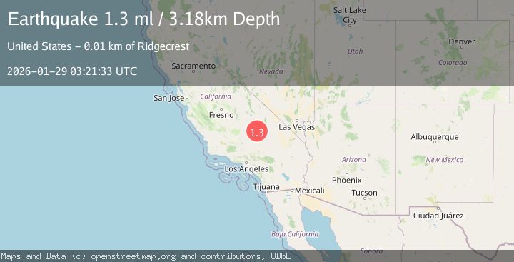
A 1.3 magnitude earthquake struck on 11 km ENE of Ridgecrest, CA, at Thu, 29 Jan 2026 03:21:33 GMT. Depth: 3.1800000667572km. Reviewed by USGS seismologists, this minor quake occurred at a magnitude type of ml.
Magnitude
1.3
ml
Source
USGS
Intensity
-
Agency Reports
1 Sources| Source | Magnitude | Depth | Time |
|---|---|---|---|
| USGSPrimary | 1.3 | 3 km | 4 hours ago |
Earthquake Details
AutomaticEvent IDusgs_ci41175359
Tsunami PotentialNo
Magnitude Typeml
Nearest Places
- Trona Water Pipeline2.6 km
- Lone Butte2.9 km
- Landmark Letter4.5 km
- Lark Seep4.6 km
- Salt Wells Valley5.8 km
Comments
Join the discussion about this event.
Latest Earthquakes
2.3Mag
Halmahera, Indonesia
Time4 minutes ago
Depth12.09 km
SourceBMKG (Automatic)
1.2Mag
3 km ESE of Lake Henshaw, CA
Time15 minutes ago
Depth11.52 km
SourceUSGS (Automatic)
2.5Mag
Bali Sea
Time25 minutes ago
Depth22.43 km
SourceBMKG (Automatic)
3.6Mag
OFF COAST OF AISEN, CHILE
Time29 minutes ago
Depth10.00 km
SourceCSN (Automatic)
2.3Mag
WESTERN TURKEY
Time33 minutes ago
Depth7.90 km
SourceKOERI (Automatic)
Nearby Earthquakes
1.1Mag
12 km ENE of Ridgecrest, CA
Time5 days ago
Depth6.28 km
SourceUSGS (Automatic)
1.3Mag
15 km NE of Ridgecrest, CA
Time3 days ago
Depth10.03 km
SourceUSGS (Automatic)
1.4Mag
15 km ENE of Ridgecrest, CA
Time2 days ago
Depth7.69 km
SourceUSGS (Automatic)
1.3Mag
Central California
Time1 week ago
Depth8.95 km
SourceUSGS (Automatic)
1.2Mag
14 km SW of Searles Valley, CA
Time3 days ago
Depth4.54 km
SourceUSGS (Automatic)