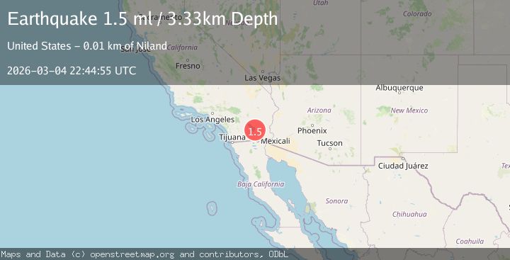
Earthquake 10 km SW of Niland, CA
Wed, 04 Mar 2026 22:44:55 GMT
Time2 hours ago
Location
33.1843, -115.5985
Depth
3.3 KM
Event Summary
A 1.5 magnitude earthquake struck on 10 km SW of Niland, CA, at Wed, 04 Mar 2026 22:44:55 GMT. Depth: 3.32999992370605km. Reviewed by USGS seismologists, this minor quake occurred at a magnitude type of ml.
Magnitude
1.5
ml
Source
USGS
Intensity
-
Agency Reports
1 Sources| Source | Magnitude | Depth | Time |
|---|---|---|---|
| USGSPrimary | 1.5 | 3 km | 2 hours ago |
Earthquake Details
AutomaticEvent IDusgs_ci41197431
Tsunami PotentialNo
Magnitude Typeml
Nearest Places
- 0.9 km
- 0.9 km
- 1.1 km
- 1.8 km
- 1.9 km
Comments
Join the discussion about this event.
Latest Earthquakes
1.0Mag
4 km W of Cobb, CA
Time1 hour ago
Depth2.28 km
SourceUSGS (Automatic)
1.7Mag
Washington
Time1 hour ago
Depth29.79 km
SourceVYT (Automatic)
1.9Mag
Sweden
Time1 hour ago
Depth0.00 km
SourceVYT (Automatic)
2.5Mag
British Columbia, Canada
Time1 hour ago
Depth0.00 km
SourceVYT (Automatic)
1.9Mag
5 km NNE of Whitney, Nevada
Time1 hour ago
Depth4.74 km
SourceUSGS (Automatic)
Nearby Earthquakes
1.4Mag
9 km SW of Niland, CA
Time2 weeks ago
Depth2.96 km
SourceUSGS (Automatic)
2.9Mag
Southern California
Time2 weeks ago
Depth26.86 km
SourceVYT (Automatic)
3.0Mag
SOUTHERN CALIFORNIA
Time2 years ago
Depth3.00 km
SourceNEIR (Automatic)
1.7Mag
Southern California
Time1 week ago
Depth35.28 km
SourceVYT (Automatic)
3.0Mag
SOUTHERN CALIFORNIA
Time6 years ago
Depth10.00 km
SourceNEIC (Automatic)