Earthquake 17 km NNE of Indio, CA
Thu, 05 Feb 2026 04:03:16 GMT
Time3 hours ago
Location
33.8670, -116.1682
Depth
3.2 KM
Event Summary
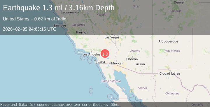
A 1.3 magnitude earthquake struck on 17 km NNE of Indio, CA, at Thu, 05 Feb 2026 04:03:16 GMT. Depth: 3.16000008583069km. Reviewed by USGS seismologists, this minor quake occurred at a magnitude type of ml.
Magnitude
1.3
ml
Source
USGS
Intensity
-
Agency Reports
1 Sources| Source | Magnitude | Depth | Time |
|---|---|---|---|
| USGSPrimary | 1.3 | 3 km | 3 hours ago |
Earthquake Details
AutomaticEvent IDusgs_ci41392072
Tsunami PotentialNo
Magnitude Typeml
Nearest Places
- Cabezon Indian Reservation2.8 km
- Pushawalla Canyon4.3 km
- The Blue Cut5.0 km
- West Berdoo Canyon5.3 km
- KPLM-FM (Palm Springs)5.6 km
Comments
Join the discussion about this event.
Latest Earthquakes
3.8Mag
South of Java, Indonesia
Time12 minutes ago
Depth10.00 km
SourceBMKG (Automatic)
2.6Mag
South of Sumbawa, Indonesia
Time22 minutes ago
Depth10.00 km
SourceBMKG (Automatic)
1.5Mag
33 km E of Balmorhea, Texas
Time22 minutes ago
Depth5.46 km
SourceUSGS (Automatic)
3.3Mag
MOLUCCA SEA
Time25 minutes ago
Depth28.00 km
SourceBMKG (Automatic)
1.2Mag
8 km W of Cobb, CA
Time32 minutes ago
Depth1.89 km
SourceUSGS (Automatic)
Nearby Earthquakes
2.5Mag
SOUTHERN CALIFORNIA
Time1 week ago
Depth4.60 km
SourceSCSN (Automatic)
2.2Mag
SOUTHERN CALIFORNIA
Time2 weeks ago
Depth2.70 km
SourceSCSN (Automatic)
2.1Mag
17 km NNE of Indio, CA
Time1 week ago
Depth3.20 km
SourceUSGS (Automatic)
2.3Mag
17 km NNE of Indio, CA
Time1 week ago
Depth3.98 km
SourceUSGS (Automatic)
1.7Mag
16 km NNE of Indio, CA
Time1 week ago
Depth4.55 km
SourceUSGS (Automatic)