Earthquake MOLUCCA SEA
Thu, 05 Feb 2026 07:08:49 GMT
Time1 hour ago
Location
0.9900, 125.4700
Depth
28.0 KM
Event Summary
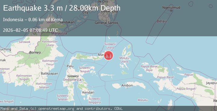
A 3.3 magnitude earthquake struck on MOLUCCA SEA, at Thu, 05 Feb 2026 07:08:49 GMT. Depth: 28km. Reviewed by BMKG seismologists, this minor quake occurred at a magnitude type of m.
Magnitude
3.3
m
Source
BMKG
Intensity
-
Agency Reports
1 Sources| Source | Magnitude | Depth | Time |
|---|---|---|---|
| BMKGPrimary | 3.3 | 28 km | 1 hour ago |
Earthquake Details
AutomaticEvent IDemsc_BMKG_20260205_0000110
Tsunami PotentialNo
Magnitude Typem
Nearest Places
- Susulina51.8 km
- Pulau Mandolang52.2 km
- Tanjung Mandolang52.2 km
- Tanjung Atep52.5 km
- Pulau Dua52.7 km
Comments
Join the discussion about this event.
Latest Earthquakes
2.6Mag
South of Sumbawa, Indonesia
Time1 hour ago
Depth10.00 km
SourceBMKG (Automatic)
1.5Mag
33 km E of Balmorhea, Texas
Time1 hour ago
Depth5.46 km
SourceUSGS (Automatic)
1.2Mag
8 km W of Cobb, CA
Time1 hour ago
Depth1.89 km
SourceUSGS (Automatic)
1.4Mag
13 km N of Borrego Springs, CA
Time1 hour ago
Depth10.87 km
SourceUSGS (Automatic)
2.2Mag
Near North Coast of West Papua
Time1 hour ago
Depth10.00 km
SourceBMKG (Automatic)
Nearby Earthquakes
3.4Mag
Northern Molucca Sea
Time1 week ago
Depth11.41 km
SourceBMKG (Automatic)
3.5Mag
Northern Molucca Sea
Time2 days ago
Depth16.12 km
SourceBMKG (Automatic)
2.7Mag
MOLUCCA SEA
Time2 days ago
Depth28.00 km
SourceBMKG (Automatic)
2.9Mag
Northern Molucca Sea
Time14 hours ago
Depth26.98 km
SourceBMKG (Automatic)
3.1Mag
Northern Molucca Sea
Time1 week ago
Depth14.98 km
SourceBMKG (Automatic)