Earthquake Minahassa Peninsula, Sulawesi
Fri, 06 Feb 2026 15:55:09 GMT
Time1 hour ago
Location
0.5898, 121.6607
Depth
63.3 KM
Event Summary
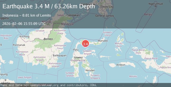
A 3.4 magnitude earthquake struck on Minahassa Peninsula, Sulawesi, at Fri, 06 Feb 2026 15:55:09 GMT. Depth: 63.257648km. Reviewed by BMKG seismologists, this minor quake occurred at a magnitude type of M.
Magnitude
3.4
M
Source
BMKG
Intensity
-
Agency Reports
1 Sources| Source | Magnitude | Depth | Time |
|---|---|---|---|
| BMKGPrimary | 3.4 | 63 km | 1 hour ago |
Earthquake Details
AutomaticEvent IDbmg2026cozq
Tsunami PotentialNo
Magnitude TypeM
Nearest Places
- Huidu Bangkalo1.1 km
- Huidu Pentolo1.3 km
- Huidu Palang2.6 km
- Huidu Binde2.7 km
- Desa Suka Damai2.7 km
Comments
Join the discussion about this event.
Latest Earthquakes
1.4Mag
3 km N of Dublin, CA
Time9 minutes ago
Depth8.73 km
SourceUSGS (Automatic)
4.1Mag
NEAR EAST COAST OF HONSHU, JAPAN
Time16 minutes ago
Depth10.00 km
SourceJMA (Automatic)
2.7Mag
Java, Indonesia
Time17 minutes ago
Depth28.82 km
SourceBMKG (Automatic)
3.1Mag
KENAI PENINSULA, ALASKA
Time18 minutes ago
Depth71.10 km
SourceAK (Automatic)
2.5Mag
43 km NNE of Ouzinkie, Alaska
Time30 minutes ago
Depth3.80 km
SourceUSGS (Automatic)
Nearby Earthquakes
2.5Mag
Minahassa Peninsula, Sulawesi
Time1 day ago
Depth96.35 km
SourceBMKG (Automatic)
2.1Mag
Minahassa Peninsula, Sulawesi
Time3 days ago
Depth26.10 km
SourceBMKG (Automatic)
2.2Mag
Minahassa Peninsula, Sulawesi
Time2 weeks ago
Depth76.64 km
SourceBMKG (Automatic)
3.1Mag
Minahassa Peninsula, Sulawesi
Time1 week ago
Depth38.15 km
SourceBMKG (Automatic)
2.3Mag
Minahassa Peninsula, Sulawesi
Time3 days ago
Depth50.17 km
SourceBMKG (Automatic)