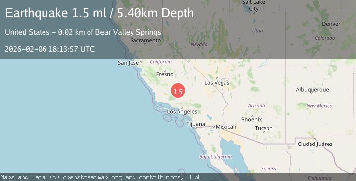
Earthquake 23 km NNW of Tehachapi, CA
Fri, 06 Feb 2026 18:13:57 GMT
Time1 hour ago
Location
35.3082, -118.5853
Depth
5.4 KM
Event Summary
A 1.5 magnitude earthquake struck on 23 km NNW of Tehachapi, CA, at Fri, 06 Feb 2026 18:13:57 GMT. Depth: 5.40000009536743km. Reviewed by USGS seismologists, this minor quake occurred at a magnitude type of ml.
Magnitude
1.5
ml
Source
USGS
Intensity
-
Agency Reports
1 Sources| Source | Magnitude | Depth | Time |
|---|---|---|---|
| USGSPrimary | 1.5 | 5 km | 1 hour ago |
Earthquake Details
AutomaticEvent IDusgs_ci41393000
Tsunami PotentialNo
Magnitude Typeml
Nearest Places
- Oiler Canyon0.1 km
- Fig Orchard0.3 km
- Harper Canyon0.8 km
- Sam Spring1.3 km
- Hill Canyon1.7 km
Comments
Join the discussion about this event.
Latest Earthquakes
1.2Mag
15 km S of Salton City, CA
Time5 minutes ago
Depth6.48 km
SourceUSGS (Automatic)
1.6Mag
15 km WNW of Silver Peak, Nevada
Time11 minutes ago
Depth9.12 km
SourceUSGS (Automatic)
2.8Mag
NORTHERN CALIFORNIA
Time14 minutes ago
Depth-1.30 km
SourceNC (Automatic)
2.1Mag
Sulawesi, Indonesia
Time18 minutes ago
Depth5.00 km
SourceBMKG (Automatic)
1.2Mag
CENTRAL TURKEY
Time19 minutes ago
Depth7.00 km
SourceAFAD (Automatic)
Nearby Earthquakes
1.9Mag
19 km NW of Tehachapi, CA
Time1 week ago
Depth3.26 km
SourceUSGS (Automatic)
1.7Mag
20 km ENE of Arvin, CA
Time1 week ago
Depth5.64 km
SourceUSGS (Automatic)
1.5Mag
14 km SSW of Arvin, CA
Time12 hours ago
Depth14.97 km
SourceUSGS (Automatic)
1.3Mag
14 km W of Mojave, CA
Time1 week ago
Depth0.37 km
SourceUSGS (Automatic)
1.8Mag
11 km NNW of Mojave, CA
Time1 week ago
Depth8.60 km
SourceUSGS (Automatic)