Earthquake 25 km SW of Maricopa, CA
Sat, 07 Feb 2026 13:55:50 GMT
Time1 week ago
Location
34.9078, -119.6112
Depth
7.9 KM
Event Summary
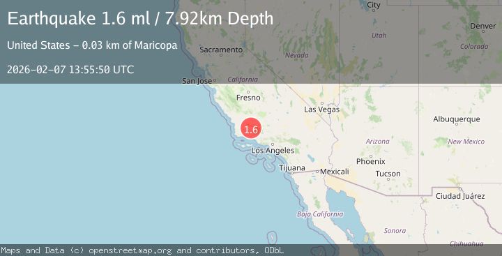
A 1.6 magnitude earthquake struck on 25 km SW of Maricopa, CA, at Sat, 07 Feb 2026 13:55:50 GMT. Depth: 7.92000007629395km. Reviewed by USGS seismologists, this minor quake occurred at a magnitude type of ml.
Magnitude
1.6
ml
Source
USGS
Intensity
-
Agency Reports
1 Sources| Source | Magnitude | Depth | Time |
|---|---|---|---|
| USGSPrimary | 1.6 | 8 km | 1 week ago |
Earthquake Details
AutomaticEvent IDusgs_ci41393456
Tsunami PotentialNo
Magnitude Typeml
Nearest Places
- 1.2 km
- 1.4 km
- 2.7 km
- 3.0 km
- 3.1 km
Comments
Join the discussion about this event.
Latest Earthquakes
2.1Mag
Flores Sea
Time3 minutes ago
Depth31.91 km
SourceBMKG
1.8Mag
3 km WSW of Boulder City, Nevada
Time13 minutes ago
Depth10.39 km
SourceUSGS (Automatic)
1.9Mag
WESTERN TURKEY
Time15 minutes ago
Depth7.80 km
SourceAFAD (Automatic)
2.9Mag
Sulawesi, Indonesia
Time17 minutes ago
Depth0.98 km
SourceVYT (Automatic)
3.3Mag
Southern Alaska
Time18 minutes ago
Depth98.27 km
SourceVYT (Automatic)
Nearby Earthquakes
1.3Mag
25 km WSW of Maricopa, CA
Time3 weeks ago
Depth2.92 km
SourceUSGS (Automatic)
3.0Mag
CENTRAL CALIFORNIA
Time3 years ago
Depth5.00 km
SourceNEIC (Automatic)
1.6Mag
15 km ESE of Maricopa, CA
Time3 weeks ago
Depth0.42 km
SourceUSGS (Automatic)
1.9Mag
Central California
Time6 days ago
Depth0.00 km
SourceVYT (Automatic)
3.0Mag
CENTRAL CALIFORNIA
Time9 years ago
Depth22.00 km
SourceNEIC (Automatic)