Earthquake 15 km ESE of Maricopa, CA
Wed, 28 Jan 2026 06:54:08 GMT
Time1 hour ago
Location
34.9922, -119.2578
Depth
0.4 KM
Event Summary
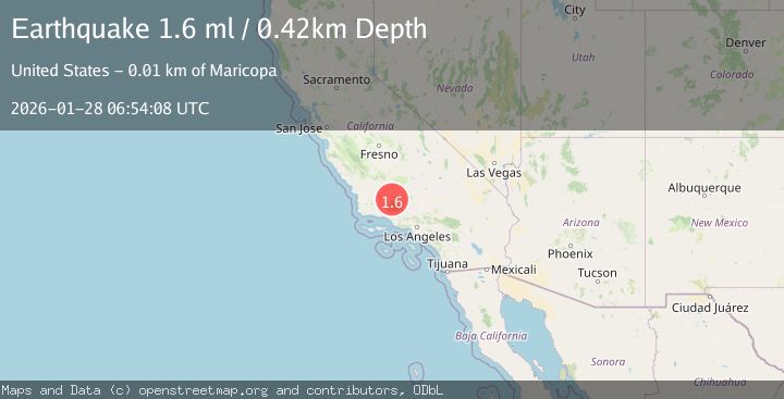
A 1.6 magnitude earthquake struck on 15 km ESE of Maricopa, CA, at Wed, 28 Jan 2026 06:54:08 GMT. Depth: 0.42km. Reviewed by USGS seismologists, this minor quake occurred at a magnitude type of ml.
Magnitude
1.6
ml
Source
USGS
Intensity
-
Agency Reports
1 Sources| Source | Magnitude | Depth | Time |
|---|---|---|---|
| USGSPrimary | 1.6 | 0 km | 1 hour ago |
Earthquake Details
AutomaticEvent IDusgs_ci41174631
Tsunami PotentialNo
Magnitude Typeml
Nearest Places
- Santiago Corrals1.1 km
- West Kern2.7 km
- Los Lobos Oil Field3.9 km
- Muddy Creek4.7 km
- Santiago Creek5.0 km
Comments
Join the discussion about this event.
Latest Earthquakes
3.4Mag
Northern Sumatra, Indonesia
Time5 minutes ago
Depth55.64 km
SourceBMKG (Automatic)
1.5Mag
100 km E of McCarthy, Alaska
Time14 minutes ago
Depth5.00 km
SourceUSGS (Automatic)
3.1Mag
Halmahera, Indonesia
Time24 minutes ago
Depth10.16 km
SourceBMKG (Automatic)
2.4Mag
CENTRAL CALIFORNIA
Time29 minutes ago
Depth3.10 km
SourceNC (Automatic)
1.5Mag
18 km SSW of Lamont, CA
Time32 minutes ago
Depth9.92 km
SourceUSGS (Automatic)
Nearby Earthquakes
1.5Mag
18 km SSW of Lamont, CA
Time32 minutes ago
Depth9.92 km
SourceUSGS (Automatic)
1.3Mag
25 km WSW of Maricopa, CA
Time1 day ago
Depth2.92 km
SourceUSGS (Automatic)
1.8Mag
14 km S of Frazier Park, CA
Time4 days ago
Depth15.39 km
SourceUSGS (Automatic)
1.9Mag
13 km NE of Carpinteria, CA
Time1 day ago
Depth2.49 km
SourceUSGS (Automatic)
1.7Mag
20 km ENE of Arvin, CA
Time17 hours ago
Depth5.64 km
SourceUSGS (Automatic)