Earthquake 15 km NNE of Borrego Springs, CA
Sat, 07 Feb 2026 22:05:05 GMT
Time1 hour ago
Location
33.3697, -116.2903
Depth
11.3 KM
Event Summary
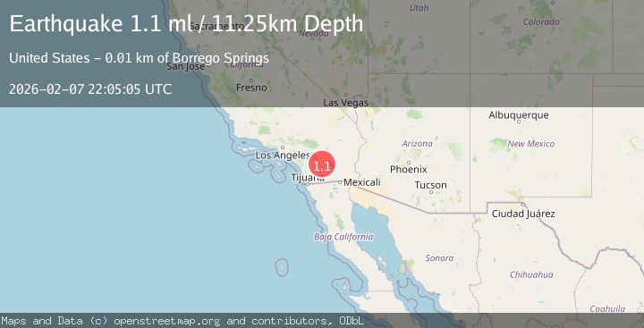
A 1.1 magnitude earthquake struck on 15 km NNE of Borrego Springs, CA, at Sat, 07 Feb 2026 22:05:05 GMT. Depth: 11.25km. Reviewed by USGS seismologists, this minor quake occurred at a magnitude type of ml.
Magnitude
1.1
ml
Source
USGS
Intensity
-
Agency Reports
1 Sources| Source | Magnitude | Depth | Time |
|---|---|---|---|
| USGSPrimary | 1.1 | 11 km | 1 hour ago |
Earthquake Details
AutomaticEvent IDusgs_ci41393616
Tsunami PotentialNo
Magnitude Typeml
Nearest Places
- Santa Rosa Mountains State Wilderness2.6 km
- Clark Well2.9 km
- Clark Lake3.8 km
- Clark Valley4.5 km
- Coyote Mountain4.6 km
Comments
Join the discussion about this event.
Latest Earthquakes
3.5Mag
West Papua Region, Indonesia
Time11 minutes ago
Depth60.58 km
SourceBMKG (Automatic)
1.9Mag
STRAIT OF GIBRALTAR
Time17 minutes ago
Depth19.40 km
SourceIGN (Automatic)
2.4Mag
Sulawesi, Indonesia
Time21 minutes ago
Depth10.00 km
SourceBMKG (Automatic)
2.0Mag
2 km E of The Geysers, CA
Time29 minutes ago
Depth1.83 km
SourceUSGS (Automatic)
3.3Mag
Southern Sumatra, Indonesia
Time36 minutes ago
Depth14.52 km
SourceBMKG (Automatic)
Nearby Earthquakes
2.9Mag
13 km NNE of Borrego Springs, CA
Time2 weeks ago
Depth11.34 km
SourceUSGS (Automatic)
0.5Mag
11 km NNE of Borrego Springs, CA
Time6 days ago
Depth11.20 km
SourceUSGS (Automatic)
1.2Mag
12 km N of Borrego Springs, CA
Time1 week ago
Depth14.78 km
SourceUSGS (Automatic)
1.5Mag
15 km N of Borrego Springs, CA
Time1 week ago
Depth11.02 km
SourceUSGS (Automatic)
1.4Mag
6 km NE of Borrego Springs, CA
Time2 weeks ago
Depth11.02 km
SourceUSGS (Automatic)