Earthquake West Papua Region, Indonesia
Sat, 07 Feb 2026 23:16:26 GMT
Time1 hour ago
Location
-4.1182, 133.1014
Depth
60.6 KM
Event Summary
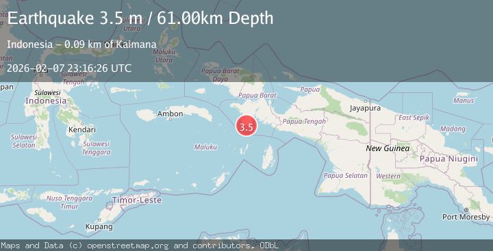
A 3.5 magnitude earthquake struck on West Papua Region, Indonesia, at Sat, 07 Feb 2026 23:16:26 GMT. Depth: 60.576611km. Reviewed by BMKG seismologists, this minor quake occurred at a magnitude type of M.
Magnitude
3.5
M
Source
BMKG
Intensity
-
Agency Reports
1 Sources| Source | Magnitude | Depth | Time |
|---|---|---|---|
| BMKGPrimary | 3.5 | 61 km | 1 hour ago |
Earthquake Details
AutomaticEvent IDbmg2026crjr
Tsunami PotentialNo
Magnitude TypeM
Nearest Places
- Pulau Derdi8.8 km
- Tanjung Papisoi10.8 km
- Nusawulan13.6 km
- Pulau Nasaulang14.1 km
- Tanjung Usau18.7 km
Comments
Join the discussion about this event.
Latest Earthquakes
2.1Mag
Flores Region, Indonesia
Time8 minutes ago
Depth168.09 km
SourceBMKG (Automatic)
1.5Mag
97 km NW of Yakutat, Alaska
Time10 minutes ago
Depth1.80 km
SourceUSGS (Automatic)
4.1Mag
NEAR EAST COAST OF HONSHU, JAPAN
Time12 minutes ago
Depth50.00 km
SourceJMA (Automatic)
2.5Mag
Minahassa Peninsula, Sulawesi
Time13 minutes ago
Depth16.74 km
SourceBMKG (Automatic)
2.1Mag
70 km WNW of Akhiok, Alaska
Time18 minutes ago
Depth33.90 km
SourceUSGS (Automatic)
Nearby Earthquakes
3.3Mag
PAPUA, INDONESIA
Time1 week ago
Depth10.00 km
SourceBMKG (Automatic)
3.1Mag
West Papua Region, Indonesia
Time2 weeks ago
Depth10.00 km
SourceBMKG (Automatic)
3.5Mag
West Papua Region, Indonesia
Time3 days ago
Depth10.00 km
SourceBMKG (Automatic)
3.2Mag
West Papua Region, Indonesia
Time3 days ago
Depth14.12 km
SourceBMKG (Automatic)
3.8Mag
NEAR S COAST OF PAPUA, INDONESIA
Time2 weeks ago
Depth54.00 km
SourceBMKG (Automatic)