Earthquake 24 km SW of Independence, CA
Sun, 08 Feb 2026 00:09:16 GMT
Time1 hour ago
Location
36.6322, -118.3587
Depth
9.1 KM
Event Summary
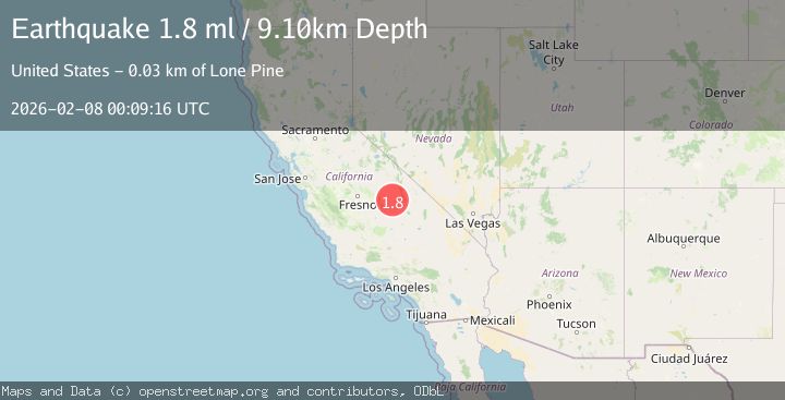
A 1.8 magnitude earthquake struck on 24 km SW of Independence, CA, at Sun, 08 Feb 2026 00:09:16 GMT. Depth: 9.10000038146973km. Reviewed by USGS seismologists, this minor quake occurred at a magnitude type of ml.
Magnitude
1.8
ml
Source
USGS
Intensity
-
Agency Reports
1 Sources| Source | Magnitude | Depth | Time |
|---|---|---|---|
| USGSPrimary | 1.8 | 9 km | 1 hour ago |
Earthquake Details
AutomaticEvent IDusgs_ci41393648
Tsunami PotentialNo
Magnitude Typeml
Nearest Places
- Wright Lakes0.3 km
- Tawny Point1.5 km
- Bighorn Plateau2.5 km
- Tyndall Creek Patrol Cabin2.7 km
- Tyndall Creek Ranger Station2.9 km
Comments
Join the discussion about this event.
Latest Earthquakes
2.2Mag
31 km ENE of Susitna North, Alaska
Time3 minutes ago
Depth29.80 km
SourceUSGS (Automatic)
3.5Mag
NEAR COAST OF NICARAGUA
Time7 minutes ago
Depth46.00 km
SourceINET (Automatic)
2.1Mag
Southern Sumatra, Indonesia
Time14 minutes ago
Depth10.64 km
SourceBMKG (Automatic)
2.3Mag
Minahassa Peninsula, Sulawesi
Time24 minutes ago
Depth20.18 km
SourceBMKG (Automatic)
3.0Mag
Talaud Islands, Indonesia
Time26 minutes ago
Depth35.87 km
SourceBMKG (Automatic)
Nearby Earthquakes
1.9Mag
6 km SSW of Independence, CA
Time1 week ago
Depth6.34 km
SourceUSGS (Automatic)
1.6Mag
6 km WSW of Lone Pine, California
Time2 weeks ago
Depth14.71 km
SourceUSGS (Automatic)
2.4Mag
CENTRAL CALIFORNIA
Time5 days ago
Depth1.50 km
SourceNN (Automatic)
1.8Mag
33 km NE of Independence, California
Time6 days ago
Depth7.60 km
SourceUSGS (Automatic)
1.1Mag
13 km ESE of Olancha, CA
Time1 week ago
Depth7.07 km
SourceUSGS (Automatic)