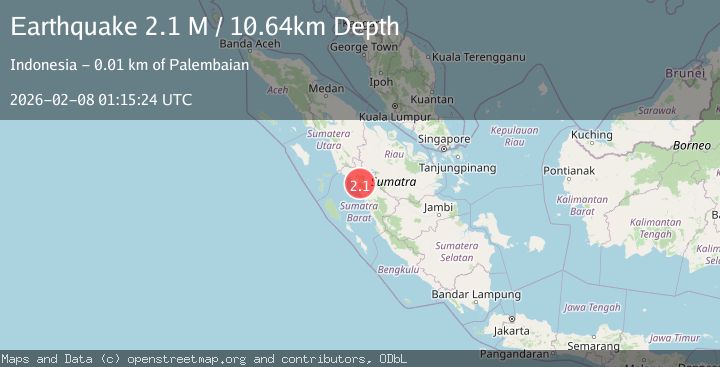
Earthquake Southern Sumatra, Indonesia
Sun, 08 Feb 2026 01:15:24 GMT
Time1 hour ago
Location
-0.2198, 100.1669
Depth
10.6 KM
Event Summary
A 2.1 magnitude earthquake struck on Southern Sumatra, Indonesia, at Sun, 08 Feb 2026 01:15:24 GMT. Depth: 10.639016km. Reviewed by BMKG seismologists, this minor quake occurred at a magnitude type of M.
Magnitude
2.1
M
Source
BMKG
Intensity
-
Agency Reports
1 Sources| Source | Magnitude | Depth | Time |
|---|---|---|---|
| BMKGPrimary | 2.1 | 11 km | 1 hour ago |
Earthquake Details
AutomaticEvent IDbmg2026crnp
Tsunami PotentialNo
Magnitude TypeM
Nearest Places
- Paninjawan2.0 km
- Nagari Paninjauan2.1 km
- Gunung Gadang2.2 km
- Nagari Koto Kaciak2.3 km
- Kotakecil3.1 km
Comments
Join the discussion about this event.
Latest Earthquakes
1.7Mag
10 km W of Forsan, Texas
Time5 minutes ago
Depth2.47 km
SourceUSGS (Automatic)
2.8Mag
Northern Sumatra, Indonesia
Time19 minutes ago
Depth79.18 km
SourceBMKG (Automatic)
1.7Mag
23 km W of Cohoe, Alaska
Time33 minutes ago
Depth75.40 km
SourceUSGS (Automatic)
0.7Mag
NORTHERN ITALY
Time37 minutes ago
Depth6.40 km
SourceETHZ (Automatic)
1.6Mag
WESTERN TURKEY
Time38 minutes ago
Depth8.80 km
SourceEMSC (Automatic)
Nearby Earthquakes
3.8Mag
Southern Sumatra, Indonesia
Time3 days ago
Depth10.00 km
SourceBMKG (Automatic)
2.4Mag
Southern Sumatra, Indonesia
Time5 days ago
Depth10.00 km
SourceBMKG (Automatic)
2.1Mag
Southern Sumatra, Indonesia
Time1 week ago
Depth17.85 km
SourceBMKG (Automatic)
2.0Mag
Southern Sumatra, Indonesia
Time2 days ago
Depth13.92 km
SourceBMKG (Automatic)
2.0Mag
Southern Sumatra, Indonesia
Time3 days ago
Depth4.94 km
SourceBMKG (Automatic)