Earthquake 33 km NE of Independence, California
Sun, 01 Feb 2026 20:00:57 GMT
Time1 day ago
Location
37.0220, -117.9481
Depth
7.6 KM
Event Summary
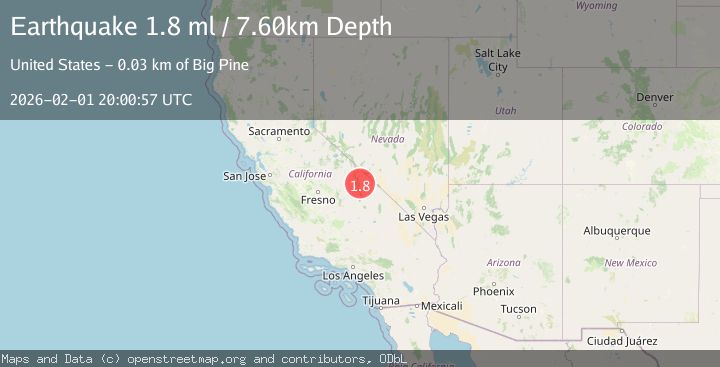
A 1.8 magnitude earthquake struck on 33 km NE of Independence, California, at Sun, 01 Feb 2026 20:00:57 GMT. Depth: 7.5952km. Reviewed by USGS seismologists, this minor quake occurred at a magnitude type of ml.
Magnitude
1.8
ml
Source
USGS
Intensity
-
Agency Reports
1 Sources| Source | Magnitude | Depth | Time |
|---|---|---|---|
| USGSPrimary | 1.8 | 8 km | 1 day ago |
Earthquake Details
AutomaticEvent IDusgs_nn00910284
Tsunami PotentialNo
Magnitude Typeml
Nearest Places
- Waucoba Spring2.0 km
- Whippoorwill Canyon2.3 km
- Waucoba Canyon2.7 km
- North Pass2.7 km
- Jackass Flats4.6 km
Comments
Join the discussion about this event.
Latest Earthquakes
2.8Mag
Sulawesi, Indonesia
Time8 minutes ago
Depth10.00 km
SourceBMKG (Automatic)
1.5Mag
5 km SE of San Ramon, CA
Time9 minutes ago
Depth6.55 km
SourceUSGS (Automatic)
3.8Mag
Southern Sumatra, Indonesia
Time10 minutes ago
Depth10.00 km
SourceBMKG (Automatic)
2.4Mag
West Papua Region, Indonesia
Time18 minutes ago
Depth9.36 km
SourceBMKG (Automatic)
4.4Mag
FIJI REGION
Time22 minutes ago
Depth493.40 km
SourceNEIC (Automatic)
Nearby Earthquakes
2.4Mag
CENTRAL CALIFORNIA
Time10 hours ago
Depth1.50 km
SourceNN (Automatic)
1.7Mag
35 km SSE of Dyer, Nevada
Time2 days ago
Depth2.19 km
SourceUSGS (Automatic)
1.9Mag
6 km SSW of Independence, CA
Time2 days ago
Depth6.34 km
SourceUSGS (Automatic)
1.6Mag
6 km WSW of Lone Pine, California
Time1 week ago
Depth14.71 km
SourceUSGS (Automatic)
1.6Mag
39 km NW of Beatty, Nevada
Time3 days ago
Depth4.18 km
SourceUSGS (Automatic)