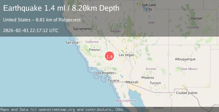
Earthquake 14 km NE of Ridgecrest, CA
Sun, 01 Feb 2026 22:17:12 GMT
Time22 hours ago
Location
35.7152, -117.5733
Depth
8.2 KM
Event Summary
A 1.4 magnitude earthquake struck on 14 km NE of Ridgecrest, CA, at Sun, 01 Feb 2026 22:17:12 GMT. Depth: 8.19999980926514km. Reviewed by USGS seismologists, this minor quake occurred at a magnitude type of ml.
Magnitude
1.4
ml
Source
USGS
Intensity
-
Agency Reports
1 Sources| Source | Magnitude | Depth | Time |
|---|---|---|---|
| USGSPrimary | 1.4 | 8 km | 22 hours ago |
Earthquake Details
AutomaticEvent IDusgs_ci41177879
Tsunami PotentialNo
Magnitude Typeml
Nearest Places
- China Lake3.8 km
- Lark Seep5.0 km
- Trona Water Pipeline5.7 km
- Lone Butte5.9 km
- Skytop6.9 km
Comments
Join the discussion about this event.
Latest Earthquakes
1.5Mag
13 km E of Pearsall, Texas
Time15 minutes ago
Depth8.04 km
SourceUSGS (Automatic)
3.0Mag
Southern Sumatra, Indonesia
Time18 minutes ago
Depth10.00 km
SourceBMKG (Automatic)
1.2Mag
24 km NE of Minto, Alaska
Time19 minutes ago
Depth6.60 km
SourceUSGS (Automatic)
1.5Mag
18 km NNE of Indio, CA
Time22 minutes ago
Depth3.26 km
SourceUSGS (Automatic)
1.2Mag
8 km SSW of Mojave, CA
Time23 minutes ago
Depth1.66 km
SourceUSGS (Automatic)
Nearby Earthquakes
0.6Mag
13 km NE of Ridgecrest, CA
Time7 hours ago
Depth6.91 km
SourceUSGS (Automatic)
1.3Mag
Central California
Time1 week ago
Depth8.95 km
SourceUSGS (Automatic)
1.7Mag
15 km WSW of Searles Valley, CA
Time1 week ago
Depth4.02 km
SourceUSGS (Automatic)
1.3Mag
15 km NE of Ridgecrest, CA
Time1 week ago
Depth10.03 km
SourceUSGS (Automatic)
0.7Mag
15 km NNE of Ridgecrest, CA
Time1 day ago
Depth10.28 km
SourceUSGS (Automatic)