Earthquake 19 km NNE of Indio, CA
Mon, 09 Feb 2026 18:24:11 GMT
Time2 hours ago
Location
33.8905, -116.1702
Depth
4.4 KM
Event Summary
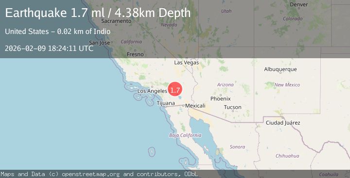
A 1.7 magnitude earthquake struck on 19 km NNE of Indio, CA, at Mon, 09 Feb 2026 18:24:11 GMT. Depth: 4.38000011444092km. Reviewed by USGS seismologists, this minor quake occurred at a magnitude type of ml.
Magnitude
1.7
ml
Source
USGS
Intensity
-
Agency Reports
1 Sources| Source | Magnitude | Depth | Time |
|---|---|---|---|
| USGSPrimary | 1.7 | 4 km | 2 hours ago |
Earthquake Details
AutomaticEvent IDusgs_ci41394536
Tsunami PotentialNo
Magnitude Typeml
Nearest Places
- Cabezon Indian Reservation3.0 km
- The Blue Cut3.4 km
- Hidden Gold Mine4.1 km
- Keys View4.3 km
- KPLM-FM (Palm Springs)5.8 km
Comments
Join the discussion about this event.
Latest Earthquakes
2.2Mag
Sumbawa Region, Indonesia
Time6 minutes ago
Depth31.11 km
SourceBMKG (Automatic)
3.5Mag
Banda Sea
Time10 minutes ago
Depth133.12 km
SourceBMKG (Automatic)
2.1Mag
WESTERN TEXAS
Time10 minutes ago
Depth6.80 km
SourceTX (Automatic)
2.1Mag
Sulawesi, Indonesia
Time15 minutes ago
Depth10.00 km
SourceBMKG (Automatic)
2.7Mag
Java, Indonesia
Time15 minutes ago
Depth13.54 km
SourceBMKG (Automatic)
Nearby Earthquakes
2.3Mag
19 km NNE of Indio, CA
Time4 days ago
Depth1.89 km
SourceUSGS (Automatic)
2.0Mag
19 km NNE of Indio, CA
Time1 week ago
Depth4.78 km
SourceUSGS (Automatic)
1.9Mag
19 km NNE of Indio, CA
Time2 days ago
Depth2.60 km
SourceUSGS (Automatic)
1.7Mag
19 km NNE of Indio, CA
Time1 week ago
Depth4.87 km
SourceUSGS (Automatic)
1.5Mag
19 km NNE of Indio, CA
Time1 week ago
Depth5.02 km
SourceUSGS (Automatic)