Earthquake 11 km NNE of Ramona, CA
Mon, 09 Feb 2026 19:23:49 GMT
Time1 hour ago
Location
33.1238, -116.8057
Depth
15.0 KM
Event Summary
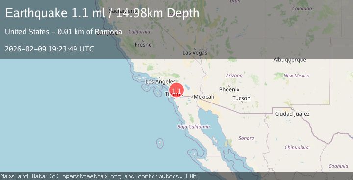
A 1.1 magnitude earthquake struck on 11 km NNE of Ramona, CA, at Mon, 09 Feb 2026 19:23:49 GMT. Depth: 14.9799995422363km. Reviewed by USGS seismologists, this minor quake occurred at a magnitude type of ml.
Magnitude
1.1
ml
Source
USGS
Intensity
-
Agency Reports
1 Sources| Source | Magnitude | Depth | Time |
|---|---|---|---|
| USGSPrimary | 1.1 | 15 km | 1 hour ago |
Earthquake Details
AutomaticEvent IDusgs_ci41394600
Tsunami PotentialNo
Magnitude Typeml
Nearest Places
- Black Canyon0.2 km
- Black Canyon Campground0.4 km
- Santa Ysabel Truck Trail0.7 km
- Sutherland 8-010 Dam1.8 km
- Sutherland Dam1.8 km
Comments
Join the discussion about this event.
Latest Earthquakes
2.2Mag
Sumbawa Region, Indonesia
Time7 minutes ago
Depth31.11 km
SourceBMKG (Automatic)
3.5Mag
Banda Sea
Time10 minutes ago
Depth133.12 km
SourceBMKG (Automatic)
2.1Mag
WESTERN TEXAS
Time11 minutes ago
Depth6.80 km
SourceTX (Automatic)
2.1Mag
Sulawesi, Indonesia
Time15 minutes ago
Depth10.00 km
SourceBMKG (Automatic)
2.7Mag
Java, Indonesia
Time16 minutes ago
Depth13.54 km
SourceBMKG (Automatic)
Nearby Earthquakes
1.4Mag
9 km NE of San Diego Country Estates, CA
Time5 days ago
Depth10.97 km
SourceUSGS (Automatic)
1.2Mag
3 km ESE of Lake Henshaw, CA
Time1 week ago
Depth11.52 km
SourceUSGS (Automatic)
1.8Mag
3 km ESE of Lake Henshaw, CA
Time1 week ago
Depth11.72 km
SourceUSGS (Automatic)
1.6Mag
4 km WNW of Julian, CA
Time1 week ago
Depth5.67 km
SourceUSGS (Automatic)
1.1Mag
3 km NW of Julian, CA
Time1 week ago
Depth6.47 km
SourceUSGS (Automatic)