Earthquake 30 km ESE of Lake Isabella, CA
Tue, 17 Feb 2026 15:38:11 GMT
Time20 hours ago
Location
35.5415, -118.1560
Depth
6.2 KM
Event Summary
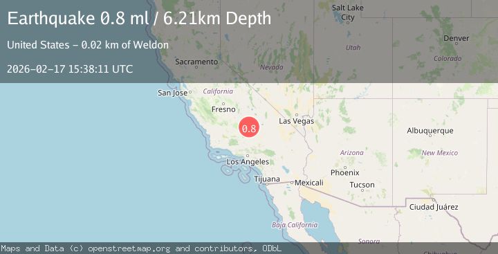
A 0.8 magnitude earthquake struck on 30 km ESE of Lake Isabella, CA, at Tue, 17 Feb 2026 15:38:11 GMT. Depth: 6.21km. Reviewed by USGS seismologists, this minor quake occurred at a magnitude type of ml.
Magnitude
0.8
ml
Source
USGS
Intensity
-
Agency Reports
1 Sources| Source | Magnitude | Depth | Time |
|---|---|---|---|
| USGSPrimary | 0.8 | 6 km | 20 hours ago |
Earthquake Details
AutomaticEvent IDusgs_ci41399272
Tsunami PotentialNo
Magnitude Typeml
Nearest Places
- Wyleys Knob1.5 km
- Bird Spring Pass2.3 km
- Mustang Spring2.8 km
- Pinyon Well3.1 km
- Skinner Peak3.9 km
Comments
Join the discussion about this event.
Latest Earthquakes
1.5Mag
Southern Alaska
Time20 hours ago
Depth67.26 km
SourceVYT (Automatic)
2.4Mag
Northern Sumatra, Indonesia
Time20 hours ago
Depth8.31 km
SourceBMKG
1.2Mag
10 km NW of The Geysers, CA
Time20 hours ago
Depth1.41 km
SourceUSGS (Automatic)
1.0Mag
Southern Alaska
Time20 hours ago
Depth14.53 km
SourceVYT (Automatic)
3.5Mag
Kepulauan Mentawai region, Indonesia
Time20 hours ago
Depth29.42 km
SourceVYT (Automatic)
Nearby Earthquakes
1.6Mag
20 km ESE of Wofford Heights, CA
Time1 week ago
Depth9.94 km
SourceUSGS (Automatic)
3.0Mag
CENTRAL CALIFORNIA
Time7 years ago
Depth2.00 km
SourceNEIR (Automatic)
1.4Mag
19 km SE of Bodfish, CA
Time2 days ago
Depth3.91 km
SourceUSGS (Automatic)
3.0Mag
CENTRAL CALIFORNIA
Time4 years ago
Depth10.00 km
SourceNEIC (Automatic)
1.9Mag
25 km WNW of Inyokern, CA
Time1 week ago
Depth1.85 km
SourceUSGS (Automatic)