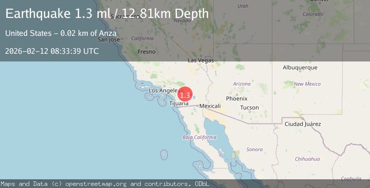
Earthquake 20 km ESE of Anza, CA
Thu, 12 Feb 2026 08:33:39 GMT
Time6 days ago
Location
33.4743, -116.4792
Depth
12.8 KM
Event Summary
A 1.3 magnitude earthquake struck on 20 km ESE of Anza, CA, at Thu, 12 Feb 2026 08:33:39 GMT. Depth: 12.8100004196167km. Reviewed by USGS seismologists, this minor quake occurred at a magnitude type of ml.
Magnitude
1.3
ml
Source
USGS
Intensity
-
Agency Reports
1 Sources| Source | Magnitude | Depth | Time |
|---|---|---|---|
| USGSPrimary | 1.3 | 13 km | 6 days ago |
Earthquake Details
AutomaticEvent IDusgs_ci41396288
Tsunami PotentialNo
Magnitude Typeml
Nearest Places
- Upper Willows4.5 km
- Toro Spring4.5 km
- Fig Tree Valley4.9 km
- Parks Canyon5.1 km
- Middle Willows5.4 km
Comments
Join the discussion about this event.
Latest Earthquakes
1.6Mag
2 km ESE of The Geysers, CA
Time14 hours ago
Depth3.11 km
SourceUSGS (Automatic)
2.2Mag
AZORES ISLANDS, PORTUGAL
Time14 hours ago
Depth5.00 km
SourcePDA (Automatic)
2.0Mag
14 km NNW of Susanville, CA
Time14 hours ago
Depth6.99 km
SourceUSGS (Automatic)
0.9Mag
7 km WNW of Cobb, CA
Time14 hours ago
Depth1.91 km
SourceUSGS (Automatic)
2.9Mag
Antofagasta, Chile
Time14 hours ago
Depth183.72 km
SourceVYT (Automatic)
Nearby Earthquakes
2.2Mag
Southern California
Time1 day ago
Depth17.33 km
SourceVYT (Automatic)
0.6Mag
20 km ESE of Anza, CA
Time1 week ago
Depth12.35 km
SourceUSGS (Automatic)
3.0Mag
SOUTHERN CALIFORNIA
Time9 years ago
Depth11.00 km
SourceNEIR (Automatic)
0.5Mag
18 km ESE of Anza, CA
Time1 week ago
Depth14.57 km
SourceUSGS (Automatic)
3.0Mag
SOUTHERN CALIFORNIA
Time11 years ago
Depth14.00 km
SourceNEIR (Automatic)