Earthquake 15 km SSW of La Quinta, CA
Thu, 12 Feb 2026 09:51:19 GMT
Time2 weeks ago
Location
33.5485, -116.3950
Depth
5.8 KM
Event Summary
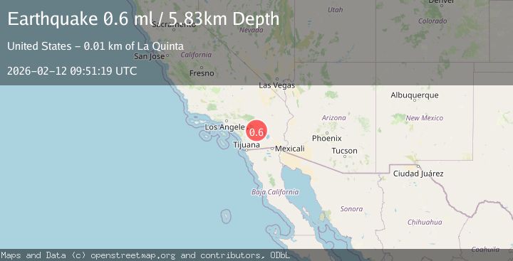
A 0.6 magnitude earthquake struck on 15 km SSW of La Quinta, CA, at Thu, 12 Feb 2026 09:51:19 GMT. Depth: 5.83km. Reviewed by USGS seismologists, this minor quake occurred at a magnitude type of ml.
Magnitude
0.6
ml
Source
USGS
Intensity
-
Agency Reports
1 Sources| Source | Magnitude | Depth | Time |
|---|---|---|---|
| USGSPrimary | 0.6 | 6 km | 2 weeks ago |
Earthquake Details
AutomaticEvent IDusgs_ci41396320
Tsunami PotentialNo
Magnitude Typeml
Nearest Places
- 2.3 km
- 2.4 km
- 3.9 km
- 4.0 km
- 4.5 km
Comments
Join the discussion about this event.
Latest Earthquakes
5.8Mag
Minahasa, Sulawesi, Indonesia
Time38 minutes ago
Depth0.00 km
SourceVYT (Automatic)
1.1Mag
Pyrenees
Time40 minutes ago
Depth13.43 km
SourceVYT (Automatic)
3.2Mag
Antofagasta, Chile
Time42 minutes ago
Depth116.21 km
SourceVYT (Automatic)
0.8Mag
10 km NW of The Geysers, CA
Time43 minutes ago
Depth1.56 km
SourceUSGS (Automatic)
2.2Mag
Sumbawa region, Indonesia
Time45 minutes ago
Depth5.37 km
SourceVYT (Automatic)
Nearby Earthquakes
1.0Mag
16 km SSW of La Quinta, CA
Time4 hours ago
Depth8.65 km
SourceUSGS (Automatic)
1.5Mag
Southern California
Time6 days ago
Depth7.20 km
SourceVYT (Automatic)
2.3Mag
21 km SSW of La Quinta, CA
Time1 month ago
Depth9.31 km
SourceUSGS (Automatic)
1.4Mag
21 km SW of La Quinta, CA
Time3 weeks ago
Depth7.54 km
SourceUSGS (Automatic)
2.3Mag
Southern California
Time5 days ago
Depth10.00 km
SourceVYT (Automatic)