Earthquake 21 km SW of La Quinta, CA
Tue, 03 Feb 2026 19:33:57 GMT
Time1 day ago
Location
33.5070, -116.4422
Depth
7.5 KM
Event Summary
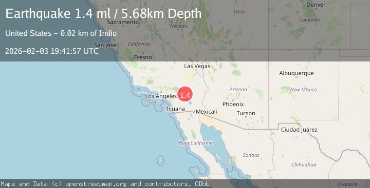
A 1.4 magnitude earthquake struck on 21 km SW of La Quinta, CA, at Tue, 03 Feb 2026 19:33:57 GMT. Depth: 7.53999996185303km. Reviewed by USGS seismologists, this minor quake occurred at a magnitude type of ml.
Magnitude
1.4
ml
Source
USGS
Intensity
-
Agency Reports
1 Sources| Source | Magnitude | Depth | Time |
|---|---|---|---|
| USGSPrimary | 1.4 | 6 km | 1 day ago |
Earthquake Details
AutomaticEvent IDusgs_ci41391040
Tsunami PotentialNo
Magnitude Typeml
Nearest Places
- Toro Spring0.6 km
- Toro Peak2.4 km
- Virgin Spring2.8 km
- Cedar Spring3.2 km
- Stump Spring Campground3.3 km
Comments
Join the discussion about this event.
Latest Earthquakes
2.9Mag
Banda Sea
Time21 hours ago
Depth232.99 km
SourceBMKG (Automatic)
1.7Mag
10 km WNW of Lake Elsinore, CA
Time21 hours ago
Depth10.88 km
SourceUSGS (Automatic)
1.6Mag
17 km SSE of Glacier View, Alaska
Time21 hours ago
Depth28.40 km
SourceUSGS (Automatic)
4.4Mag
BOUGAINVILLE REGION, P.N.G.
Time22 hours ago
Depth187.60 km
SourceNEIC (Automatic)
3.0Mag
Northern Sumatra, Indonesia
Time22 hours ago
Depth3.00 km
SourceBMKG (Automatic)
Nearby Earthquakes
2.3Mag
21 km SSW of La Quinta, CA
Time1 week ago
Depth9.31 km
SourceUSGS (Automatic)
1.4Mag
23 km SSW of La Quinta, CA
Time1 week ago
Depth14.11 km
SourceUSGS (Automatic)
1.0Mag
24 km ESE of Anza, CA
Time4 days ago
Depth3.61 km
SourceUSGS (Automatic)
1.2Mag
23 km N of Borrego Springs, CA
Time3 days ago
Depth5.12 km
SourceUSGS (Automatic)
1.4Mag
17 km ESE of Anza, CA
Time1 week ago
Depth13.29 km
SourceUSGS (Automatic)