Earthquake 13 km WSW of El Centro, CA
Mon, 16 Feb 2026 11:05:35 GMT
Time3 days ago
Location
32.7368, -115.6835
Depth
9.6 KM
Event Summary
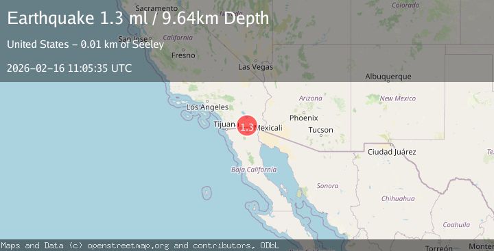
A 1.3 magnitude earthquake struck on 13 km WSW of El Centro, CA, at Mon, 16 Feb 2026 11:05:35 GMT. Depth: 9.64km. Reviewed by USGS seismologists, this minor quake occurred at a magnitude type of ml.
Magnitude
1.3
ml
Source
USGS
Intensity
-
Agency Reports
1 Sources| Source | Magnitude | Depth | Time |
|---|---|---|---|
| USGSPrimary | 1.3 | 10 km | 3 days ago |
Earthquake Details
AutomaticEvent IDusgs_ci41398976
Tsunami PotentialNo
Magnitude Typeml
Nearest Places
- Wormwood Lateral Seven0.6 km
- Wormwood Canal1.1 km
- Wormwood Drain1.1 km
- Fig Drain1.5 km
- Wormwood Lateral Nine1.6 km
Comments
Join the discussion about this event.
Latest Earthquakes
2.5Mag
Central Alaska
Time2 minutes ago
Depth7.93 km
SourceVYT (Automatic)
1.5Mag
42 km SSW of Cantwell, Alaska
Time4 minutes ago
Depth5.10 km
SourceUSGS (Automatic)
2.3Mag
northwestern Russia
Time8 minutes ago
Depth0.00 km
SourceVYT (Automatic)
1.1Mag
7 km WSW of Corona, CA
Time9 minutes ago
Depth22.23 km
SourceUSGS (Automatic)
1.6Mag
60 km S of Whites City, New Mexico
Time10 minutes ago
Depth4.19 km
SourceUSGS (Automatic)
Nearby Earthquakes
1.7Mag
California-Baja California border region
Time6 days ago
Depth2.69 km
SourceVYT (Automatic)
3.0Mag
SOUTHERN CALIFORNIA
Time9 years ago
Depth10.00 km
SourceNEIC (Automatic)
3.0Mag
SOUTHERN CALIFORNIA
Time1 year ago
Depth11.40 km
SourceSCSN (Automatic)
2.0Mag
California-Baja California border region
Time2 days ago
Depth0.00 km
SourceVYT (Automatic)
3.0Mag
SOUTHERN CALIFORNIA
Time2 years ago
Depth21.30 km
SourceNEIC (Automatic)