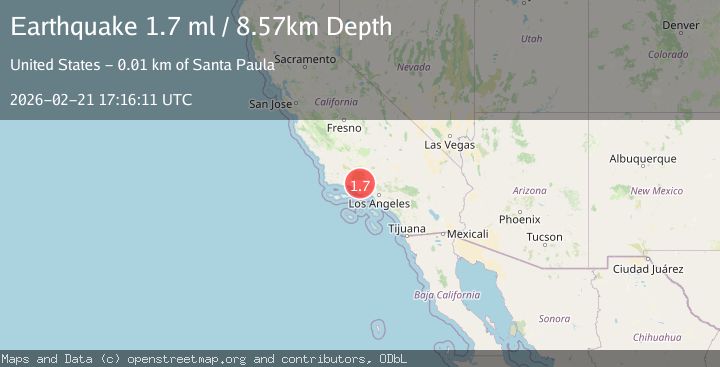
Earthquake 11 km N of Santa Paula, CA
Sat, 21 Feb 2026 17:16:11 GMT
Time1 hour ago
Location
34.4535, -119.0813
Depth
8.6 KM
Event Summary
A 1.7 magnitude earthquake struck on 11 km N of Santa Paula, CA, at Sat, 21 Feb 2026 17:16:11 GMT. Depth: 8.57km. Reviewed by USGS seismologists, this minor quake occurred at a magnitude type of ml.
Magnitude
1.7
ml
Source
USGS
Intensity
-
Agency Reports
1 Sources| Source | Magnitude | Depth | Time |
|---|---|---|---|
| USGSPrimary | 1.7 | 9 km | 1 hour ago |
Earthquake Details
AutomaticEvent IDusgs_ci41401144
Tsunami PotentialNo
Magnitude Typeml
Nearest Places
- 1.5 km
- 1.5 km
- 1.6 km
- 2.3 km
- 2.4 km
Comments
Join the discussion about this event.
Latest Earthquakes
2.7Mag
Antofagasta, Chile
Time1 hour ago
Depth0.00 km
SourceVYT (Automatic)
3.9Mag
NEAR EAST COAST OF HONSHU, JAPAN
Time1 hour ago
Depth50.00 km
SourceJMA (Automatic)
2.6Mag
Antofagasta, Chile
Time1 hour ago
Depth0.00 km
SourceVYT (Automatic)
2.4Mag
Halmahera, Indonesia
Time1 hour ago
Depth3.52 km
SourceBMKG
5.4Mag
BALLENY ISLANDS REGION
Time1 hour ago
Depth10.00 km
SourceEMSC (Automatic)
Nearby Earthquakes
1.0Mag
7 km NNW of Santa Paula, CA
Time2 weeks ago
Depth9.99 km
SourceUSGS (Automatic)
4.0Mag
SOUTHERN CALIFORNIA
Time3 years ago
Depth20.00 km
SourceNEIR (Automatic)
1.6Mag
14 km NW of Fillmore, CA
Time1 week ago
Depth6.42 km
SourceUSGS (Automatic)
4.0Mag
SOUTHERN CALIFORNIA
Time2 years ago
Depth10.00 km
SourceNEIC (Automatic)
3.0Mag
SOUTHERN CALIFORNIA
Time2 months ago
Depth12.00 km
SourceNEIC (Automatic)