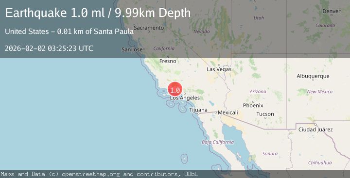
Earthquake 7 km NNW of Santa Paula, CA
Mon, 02 Feb 2026 03:25:23 GMT
Time21 hours ago
Location
34.4097, -119.0928
Depth
10.0 KM
Event Summary
A 1.0 magnitude earthquake struck on 7 km NNW of Santa Paula, CA, at Mon, 02 Feb 2026 03:25:23 GMT. Depth: 9.99km. Reviewed by USGS seismologists, this minor quake occurred at a magnitude type of ml.
Magnitude
1.0
ml
Source
USGS
Intensity
-
Agency Reports
1 Sources| Source | Magnitude | Depth | Time |
|---|---|---|---|
| USGSPrimary | 1.0 | 10 km | 21 hours ago |
Earthquake Details
AutomaticEvent IDusgs_ci41177975
Tsunami PotentialNo
Magnitude Typeml
Nearest Places
- Teagueville (historical)1.0 km
- Steckel Park1.2 km
- Anlauf Canyon1.7 km
- Sulphur Springs1.9 km
- Santa Paula Canyon2.0 km
Comments
Join the discussion about this event.
Latest Earthquakes
2.3Mag
Flores Region, Indonesia
Time40 minutes ago
Depth172.14 km
SourceBMKG (Automatic)
1.7Mag
44 km NW of Tatitlek, Alaska
Time45 minutes ago
Depth5.00 km
SourceUSGS (Automatic)
2.1Mag
Sumbawa Region, Indonesia
Time45 minutes ago
Depth10.00 km
SourceBMKG (Automatic)
1.8Mag
4 km SE of San Ramon, CA
Time49 minutes ago
Depth6.96 km
SourceUSGS (Automatic)
3.3Mag
Java, Indonesia
Time51 minutes ago
Depth90.20 km
SourceBMKG (Automatic)
Nearby Earthquakes
1.7Mag
9 km N of Fillmore, CA
Time4 days ago
Depth4.82 km
SourceUSGS (Automatic)
2.2Mag
SOUTHERN CALIFORNIA
Time1 week ago
Depth11.90 km
SourceSCSN (Automatic)
1.8Mag
7 km W of Oxnard, CA
Time1 week ago
Depth4.15 km
SourceUSGS (Automatic)
1.3Mag
11 km N of Piru, CA
Time1 week ago
Depth6.34 km
SourceUSGS (Automatic)
1.9Mag
13 km NE of Carpinteria, CA
Time6 days ago
Depth2.49 km
SourceUSGS (Automatic)