Earthquake 14 km NW of Fillmore, CA
Mon, 09 Feb 2026 12:24:32 GMT
Time1 hour ago
Location
34.4975, -119.0147
Depth
6.4 KM
Event Summary
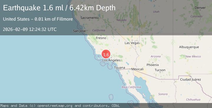
A 1.6 magnitude earthquake struck on 14 km NW of Fillmore, CA, at Mon, 09 Feb 2026 12:24:32 GMT. Depth: 6.42000007629395km. Reviewed by USGS seismologists, this minor quake occurred at a magnitude type of ml.
Magnitude
1.6
ml
Source
USGS
Intensity
-
Agency Reports
1 Sources| Source | Magnitude | Depth | Time |
|---|---|---|---|
| USGSPrimary | 1.6 | 6 km | 1 hour ago |
Earthquake Details
AutomaticEvent IDusgs_ci41394368
Tsunami PotentialNo
Magnitude Typeml
Nearest Places
- Bear Heaven3.2 km
- Last Chance Camp3.7 km
- Last Chance Trail3.9 km
- Bluff Camp4.0 km
- Topatopa Mountains4.3 km
Comments
Join the discussion about this event.
Latest Earthquakes
3.4Mag
SICILY, ITALY
Time16 minutes ago
Depth10.00 km
SourceINGV (Automatic)
4.5Mag
VIRGIN ISLANDS REGION
Time21 minutes ago
Depth32.30 km
SourceNEIC (Automatic)
2.6Mag
POLAND
Time29 minutes ago
Depth10.00 km
SourceIGPAS (Automatic)
2.9Mag
Near North Coast of West Papua
Time32 minutes ago
Depth26.24 km
SourceBMKG (Automatic)
2.5Mag
Sumbawa Region, Indonesia
Time34 minutes ago
Depth8.98 km
SourceBMKG (Automatic)
Nearby Earthquakes
1.7Mag
9 km N of Fillmore, CA
Time1 week ago
Depth4.82 km
SourceUSGS (Automatic)
1.0Mag
7 km NNW of Santa Paula, CA
Time1 week ago
Depth9.99 km
SourceUSGS (Automatic)
2.2Mag
SOUTHERN CALIFORNIA
Time2 weeks ago
Depth11.90 km
SourceSCSN (Automatic)
1.4Mag
10 km NNW of Piru, CA
Time2 days ago
Depth13.51 km
SourceUSGS (Automatic)
1.1Mag
11 km N of Piru, CA
Time3 days ago
Depth8.99 km
SourceUSGS (Automatic)