Earthquake 13 km SW of Searles Valley, CA
Thu, 26 Feb 2026 06:13:52 GMT
Time2 days ago
Location
35.6732, -117.4885
Depth
4.3 KM
Event Summary
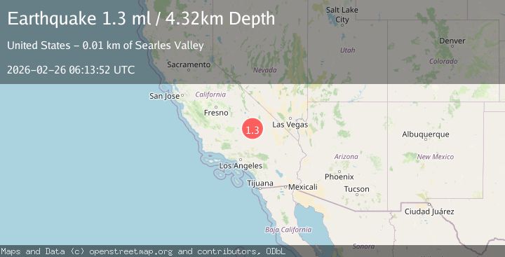
A 1.3 magnitude earthquake struck on 13 km SW of Searles Valley, CA, at Thu, 26 Feb 2026 06:13:52 GMT. Depth: 4.32000017166138km. Reviewed by USGS seismologists, this minor quake occurred at a magnitude type of ml.
Magnitude
1.3
ml
Source
USGS
Intensity
-
Agency Reports
1 Sources| Source | Magnitude | Depth | Time |
|---|---|---|---|
| USGSPrimary | 1.3 | 4 km | 2 days ago |
Earthquake Details
AutomaticEvent IDusgs_ci41404096
Tsunami PotentialNo
Magnitude Typeml
Nearest Places
- 2.2 km
- 2.9 km
- 3.3 km
- 4.5 km
- 5.4 km
Comments
Join the discussion about this event.
Latest Earthquakes
2.1Mag
Southern Alaska
Time18 hours ago
Depth29.91 km
SourceVYT (Automatic)
2.2Mag
SOUTHERN CALIFORNIA
Time18 hours ago
Depth16.80 km
SourceSCSN (Automatic)
1.9Mag
44 km SSW of Dana Point, CA
Time18 hours ago
Depth25.85 km
SourceUSGS (Automatic)
1.6Mag
Central Alaska
Time18 hours ago
Depth0.00 km
SourceVYT (Automatic)
1.9Mag
Southern Alaska
Time18 hours ago
Depth79.71 km
SourceVYT (Automatic)
Nearby Earthquakes
1.1Mag
13 km SW of Searles Valley, CA
Time19 hours ago
Depth6.43 km
SourceUSGS (Automatic)
0.8Mag
13 km SW of Searles Valley, CA
Time6 days ago
Depth6.44 km
SourceUSGS (Automatic)
3.0Mag
SOUTHERN CALIFORNIA
Time6 years ago
Depth2.00 km
SourceNEIC (Automatic)
1.0Mag
14 km SW of Searles Valley, CA
Time3 weeks ago
Depth4.19 km
SourceUSGS (Automatic)
4.0Mag
SOUTHERN CALIFORNIA
Time5 years ago
Depth10.00 km
SourceNEIC (Automatic)