Earthquake 35 km NW of Stanton, Texas
Thu, 26 Feb 2026 15:34:38 GMT
Time2 hours ago
Location
32.3380, -102.0720
Depth
13.9 KM
Event Summary
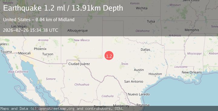
A 1.2 magnitude earthquake struck on 35 km NW of Stanton, Texas, at Thu, 26 Feb 2026 15:34:38 GMT. Depth: 13.9077km. Reviewed by USGS seismologists, this minor quake occurred at a magnitude type of ml.
Magnitude
1.2
ml
Source
USGS
Intensity
-
Agency Reports
1 Sources| Source | Magnitude | Depth | Time |
|---|---|---|---|
| USGSPrimary | 1.2 | 14 km | 2 hours ago |
Earthquake Details
AutomaticEvent IDusgs_tx2026dzzqss
Tsunami PotentialNo
Magnitude Typeml
Nearest Places
- 4.7 km
- 4.7 km
- 4.7 km
- 6.2 km
- 6.2 km
Comments
Join the discussion about this event.
Latest Earthquakes
2.1Mag
Sumbawa Region, Indonesia
Time2 hours ago
Depth36.41 km
SourceBMKG
2.5Mag
Southern Sumatra, Indonesia
Time2 hours ago
Depth10.00 km
SourceBMKG
1.3Mag
1 km NNW of The Geysers, CA
Time2 hours ago
Depth2.69 km
SourceUSGS (Automatic)
1.1Mag
8 km NE of Aguanga, CA
Time2 hours ago
Depth7.83 km
SourceUSGS (Automatic)
2.5Mag
Tarapaca, Chile
Time2 hours ago
Depth111.08 km
SourceVYT (Automatic)
Nearby Earthquakes
1.3Mag
36 km NW of Stanton, Texas
Time1 month ago
Depth3.71 km
SourceUSGS (Automatic)
1.7Mag
western Texas
Time2 weeks ago
Depth0.98 km
SourceVYT (Automatic)
1.3Mag
37 km NW of Stanton, Texas
Time3 weeks ago
Depth4.34 km
SourceUSGS (Automatic)
1.3Mag
37 km NW of Stanton, Texas
Time0 months ago
Depth8.80 km
SourceUSGS (Automatic)
1.9Mag
36 km NW of Stanton, Texas
Time2 weeks ago
Depth5.52 km
SourceUSGS (Automatic)