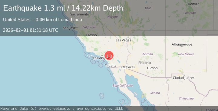
Earthquake 2 km SE of Loma Linda, CA
Sun, 01 Feb 2026 01:31:18 GMT
Time1 day ago
Location
34.0338, -117.2412
Depth
14.2 KM
Event Summary
A 1.3 magnitude earthquake struck on 2 km SE of Loma Linda, CA, at Sun, 01 Feb 2026 01:31:18 GMT. Depth: 14.2200002670288km. Reviewed by USGS seismologists, this minor quake occurred at a magnitude type of ml.
Magnitude
1.3
ml
Source
USGS
Intensity
-
Agency Reports
1 Sources| Source | Magnitude | Depth | Time |
|---|---|---|---|
| USGSPrimary | 1.3 | 14 km | 1 day ago |
Earthquake Details
AutomaticEvent IDusgs_ci41177423
Tsunami PotentialNo
Magnitude Typeml
Nearest Places
Comments
Join the discussion about this event.
Latest Earthquakes
2.2Mag
7 km S of Badger, Alaska
Time6 minutes ago
Depth19.20 km
SourceUSGS (Automatic)
1.9Mag
87 km N of Yakutat, Alaska
Time18 minutes ago
Depth5.00 km
SourceUSGS (Automatic)
1.8Mag
44 km NW of Tatitlek, Alaska
Time22 minutes ago
Depth17.80 km
SourceUSGS (Automatic)
2.3Mag
Flores Region, Indonesia
Time23 minutes ago
Depth17.19 km
SourceBMKG (Automatic)
3.6Mag
Sumbawa Region, Indonesia
Time25 minutes ago
Depth14.84 km
SourceBMKG (Automatic)
Nearby Earthquakes
0.7Mag
3 km SSE of Loma Linda, CA
Time1 day ago
Depth2.82 km
SourceUSGS (Automatic)
1.6Mag
0 km SW of Loma Linda, CA
Time5 days ago
Depth15.13 km
SourceUSGS (Automatic)
1.2Mag
7 km SSW of Redlands, CA
Time1 day ago
Depth9.35 km
SourceUSGS (Automatic)
1.6Mag
2 km NE of Grand Terrace, CA
Time1 week ago
Depth12.58 km
SourceUSGS (Automatic)
1.6Mag
0 km SSE of Redlands, CA
Time4 days ago
Depth10.71 km
SourceUSGS (Automatic)