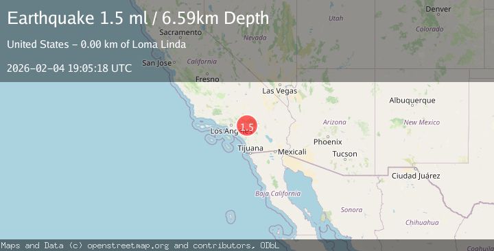
Earthquake 2 km SE of Loma Linda, CA
Wed, 04 Feb 2026 19:05:18 GMT
Time3 hours ago
Location
34.0358, -117.2428
Depth
6.6 KM
Event Summary
A 1.5 magnitude earthquake struck on 2 km SE of Loma Linda, CA, at Wed, 04 Feb 2026 19:05:18 GMT. Depth: 6.59000015258789km. Reviewed by USGS seismologists, this minor quake occurred at a magnitude type of ml.
Magnitude
1.5
ml
Source
USGS
Intensity
-
Agency Reports
1 Sources| Source | Magnitude | Depth | Time |
|---|---|---|---|
| USGSPrimary | 1.5 | 7 km | 3 hours ago |
Earthquake Details
AutomaticEvent IDusgs_ci41391760
Tsunami PotentialNo
Magnitude Typeml
Nearest Places
Comments
Join the discussion about this event.
Latest Earthquakes
3.3Mag
South of Java, Indonesia
Time1 hour ago
Depth25.48 km
SourceBMKG (Automatic)
3.6Mag
Minahassa Peninsula, Sulawesi
Time1 hour ago
Depth3.49 km
SourceBMKG (Automatic)
2.7Mag
West Papua Region, Indonesia
Time1 hour ago
Depth10.00 km
SourceBMKG (Automatic)
2.4Mag
Minahassa Peninsula, Sulawesi
Time1 hour ago
Depth86.87 km
SourceBMKG (Automatic)
2.2Mag
ALBANIA
Time2 hours ago
Depth15.00 km
SourceIGEO (Automatic)
Nearby Earthquakes
1.3Mag
2 km SE of Loma Linda, CA
Time3 days ago
Depth14.22 km
SourceUSGS (Automatic)
0.7Mag
3 km SSE of Loma Linda, CA
Time3 days ago
Depth2.82 km
SourceUSGS (Automatic)
1.3Mag
1 km E of Loma Linda, CA
Time12 hours ago
Depth16.54 km
SourceUSGS (Automatic)
1.6Mag
0 km SW of Loma Linda, CA
Time1 week ago
Depth15.13 km
SourceUSGS (Automatic)
1.2Mag
7 km SSW of Redlands, CA
Time3 days ago
Depth9.35 km
SourceUSGS (Automatic)