Earthquake 1 km ESE of Murrieta, CA
Fri, 27 Feb 2026 11:29:21 GMT
Time1 hour ago
Location
33.5500, -117.2042
Depth
14.1 KM
Event Summary
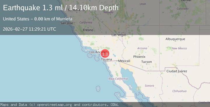
A 1.3 magnitude earthquake struck on 1 km ESE of Murrieta, CA, at Fri, 27 Feb 2026 11:29:21 GMT. Depth: 14.1000003814697km. Reviewed by USGS seismologists, this minor quake occurred at a magnitude type of ml.
Magnitude
1.3
ml
Source
USGS
Intensity
-
Agency Reports
1 Sources| Source | Magnitude | Depth | Time |
|---|---|---|---|
| USGSPrimary | 1.3 | 14 km | 1 hour ago |
Earthquake Details
AutomaticEvent IDusgs_ci41405160
Tsunami PotentialNo
Magnitude Typeml
Nearest Places
- 0.5 km
- 0.6 km
- 0.8 km
- 0.9 km
- 1.0 km
Comments
Join the discussion about this event.
Latest Earthquakes
2.1Mag
Finland
Time1 hour ago
Depth8.54 km
SourceVYT (Automatic)
2.0Mag
Minahasa, Sulawesi, Indonesia
Time1 hour ago
Depth0.24 km
SourceVYT (Automatic)
3.0Mag
Southeastern Alaska
Time1 hour ago
Depth0.00 km
SourceVYT (Automatic)
1.6Mag
11 km SSE of San Juan Bautista, CA
Time1 hour ago
Depth5.50 km
SourceUSGS (Automatic)
1.8Mag
Greater Los Angeles area, California
Time1 hour ago
Depth0.00 km
SourceVYT (Automatic)
Nearby Earthquakes
1.1Mag
4 km E of Wildomar, CA
Time1 week ago
Depth10.55 km
SourceUSGS (Automatic)
4.0Mag
SOUTHERN CALIFORNIA
Time6 years ago
Depth14.00 km
SourceNEIC (Automatic)
1.7Mag
Southern California
Time1 week ago
Depth20.75 km
SourceVYT (Automatic)
2.5Mag
3 km NE of Wildomar, CA
Time6 days ago
Depth14.38 km
SourceUSGS (Automatic)
1.0Mag
8 km ESE of Temecula, CA
Time1 month ago
Depth10.23 km
SourceUSGS (Automatic)