Earthquake 3 km SE of Loma Linda, CA
Fri, 27 Feb 2026 12:14:24 GMT
Time5 hours ago
Location
34.0312, -117.2322
Depth
4.5 KM
Event Summary
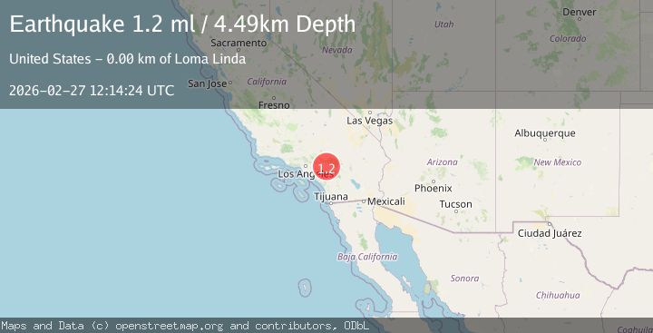
A 1.2 magnitude earthquake struck on 3 km SE of Loma Linda, CA, at Fri, 27 Feb 2026 12:14:24 GMT. Depth: 4.48999977111816km. Reviewed by USGS seismologists, this minor quake occurred at a magnitude type of ml.
Magnitude
1.2
ml
Source
USGS
Intensity
-
Agency Reports
1 Sources| Source | Magnitude | Depth | Time |
|---|---|---|---|
| USGSPrimary | 1.2 | 4 km | 5 hours ago |
Earthquake Details
AutomaticEvent IDusgs_ci41405200
Tsunami PotentialNo
Magnitude Typeml
Nearest Places
- 1.2 km
- 1.3 km
- 1.9 km
- 1.9 km
- 2.2 km
Comments
Join the discussion about this event.
Latest Earthquakes
1.1Mag
Southern Alaska
Time5 hours ago
Depth12.57 km
SourceVYT (Automatic)
2.4Mag
western Texas
Time5 hours ago
Depth8.67 km
SourceVYT (Automatic)
3.6Mag
Fox Islands, Aleutian Islands, Alaska
Time5 hours ago
Depth0.00 km
SourceVYT (Automatic)
2.4Mag
Sumbawa region, Indonesia
Time5 hours ago
Depth32.47 km
SourceVYT (Automatic)
1.2Mag
5 km SW of Redlands, CA
Time5 hours ago
Depth1.61 km
SourceUSGS (Automatic)
Nearby Earthquakes
1.3Mag
3 km ESE of Loma Linda, CA
Time6 hours ago
Depth3.89 km
SourceUSGS (Automatic)
1.3Mag
3 km ESE of Loma Linda, CA
Time6 hours ago
Depth4.18 km
SourceUSGS (Automatic)
1.8Mag
Greater Los Angeles area, California
Time5 hours ago
Depth0.00 km
SourceVYT (Automatic)
1.3Mag
2 km SE of Loma Linda, CA
Time3 weeks ago
Depth14.22 km
SourceUSGS (Automatic)
1.1Mag
3 km ESE of Loma Linda, CA
Time2 days ago
Depth4.65 km
SourceUSGS (Automatic)