Earthquake 45 km NNW of Los Algodones, B.C., MX
Tue, 03 Mar 2026 19:10:52 GMT
Time2 hours ago
Location
33.0447, -114.9852
Depth
3.6 KM
Event Summary
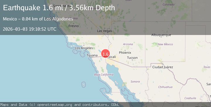
A 1.6 magnitude earthquake struck on 45 km NNW of Los Algodones, B.C., MX, at Tue, 03 Mar 2026 19:10:52 GMT. Depth: 3.56km. Reviewed by USGS seismologists, this minor quake occurred at a magnitude type of ml.
Magnitude
1.6
ml
Source
USGS
Intensity
-
Agency Reports
1 Sources| Source | Magnitude | Depth | Time |
|---|---|---|---|
| USGSPrimary | 1.6 | 4 km | 2 hours ago |
Earthquake Details
AutomaticEvent IDusgs_ci41408328
Tsunami PotentialNo
Magnitude Typeml
Nearest Places
- 0.8 km
- 0.9 km
- 1.9 km
- 3.0 km
- 5.5 km
Comments
Join the discussion about this event.
Latest Earthquakes
1.7Mag
44 km NW of Toyah, Texas
Time2 hours ago
Depth4.74 km
SourceUSGS (Automatic)
2.4Mag
Sumbawa region, Indonesia
Time2 hours ago
Depth8.18 km
SourceVYT (Automatic)
4.7Mag
Sulawesi, Indonesia
Time2 hours ago
Depth0.00 km
SourceVYT (Automatic)
1.2Mag
15 km S of Ackerly, Texas
Time2 hours ago
Depth6.60 km
SourceUSGS (Automatic)
3.2Mag
Western Australia
Time2 hours ago
Depth0.00 km
SourceVYT (Automatic)
Nearby Earthquakes
1.3Mag
45 km NE of Holtville, CA
Time5 days ago
Depth-0.20 km
SourceUSGS
2.0Mag
Southern California
Time1 week ago
Depth0.00 km
SourceVYT (Automatic)
2.1Mag
Southern California
Time2 weeks ago
Depth14.53 km
SourceVYT (Automatic)
2.9Mag
California-Baja California border region
Time2 weeks ago
Depth21.73 km
SourceVYT (Automatic)
2.5Mag
California-Baja California border region
Time3 days ago
Depth9.03 km
SourceVYT (Automatic)