Earthquake 44 km NW of Toyah, Texas
Tue, 03 Mar 2026 19:11:31 GMT
Time2 hours ago
Location
31.5930, -104.1310
Depth
4.7 KM
Event Summary
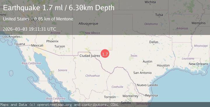
A 1.7 magnitude earthquake struck on 44 km NW of Toyah, Texas, at Tue, 03 Mar 2026 19:11:31 GMT. Depth: 4.7448km. Reviewed by USGS seismologists, this minor quake occurred at a magnitude type of ml.
Magnitude
1.7
ml
Source
USGS
Intensity
-
Agency Reports
1 Sources| Source | Magnitude | Depth | Time |
|---|---|---|---|
| USGSPrimary | 1.7 | 5 km | 2 hours ago |
Earthquake Details
AutomaticEvent IDusgs_tx2026ejlltj
Tsunami PotentialNo
Magnitude Typeml
Nearest Places
- 6.8 km
- 7.8 km
- 8.6 km
- 8.8 km
- 8.8 km
Comments
Join the discussion about this event.
Latest Earthquakes
2.4Mag
Sumbawa region, Indonesia
Time2 hours ago
Depth8.18 km
SourceVYT (Automatic)
1.6Mag
45 km NNW of Los Algodones, B.C., MX
Time2 hours ago
Depth3.56 km
SourceUSGS (Automatic)
4.7Mag
Sulawesi, Indonesia
Time2 hours ago
Depth0.00 km
SourceVYT (Automatic)
1.2Mag
15 km S of Ackerly, Texas
Time2 hours ago
Depth6.60 km
SourceUSGS (Automatic)
3.2Mag
Western Australia
Time2 hours ago
Depth0.00 km
SourceVYT (Automatic)
Nearby Earthquakes
1.4Mag
western Texas
Time1 day ago
Depth12.57 km
SourceVYT (Automatic)
2.1Mag
western Texas
Time3 weeks ago
Depth15.50 km
SourceVYT (Automatic)
1.7Mag
44 km NW of Toyah, Texas
Time1 month ago
Depth4.27 km
SourceUSGS (Automatic)
1.6Mag
44 km NW of Toyah, Texas
Time0 months ago
Depth4.20 km
SourceUSGS (Automatic)
3.0Mag
WESTERN TEXAS
Time2 years ago
Depth7.90 km
SourceTX (Automatic)