Earthquake 14 km ESE of Pāhala, Hawaii
Fri, 16 Jan 2026 00:41:36 GMT
Time1 hour ago
Location
19.1362, -155.3645
Depth
28.2 KM
Event Summary
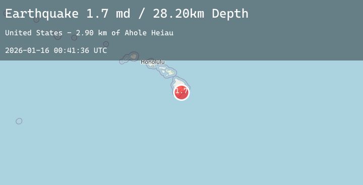
A 2.1 magnitude earthquake struck on 14 km ESE of Pāhala, Hawaii, at Fri, 16 Jan 2026 00:41:36 GMT. Depth: 28.2000007629395km. Reviewed by USGS seismologists, this minor quake occurred at a magnitude type of md.
Magnitude
2.1
md
Source
USGS
Intensity
-
Agency Reports
3 Sources| Source | Magnitude | Depth | Time |
|---|---|---|---|
| USGSPrimary | 1.7 | 28 km | 1 hour ago |
| USGSPrimary | 2.1 | 37 km | 38 minutes ago |
| HV | 2.1 | 37 km | 38 minutes ago |
Earthquake Details
AutomaticEvent IDusgs_hv74876997
Tsunami PotentialNo
Magnitude Typemd
Nearest Places
- Kapaoo Point6.9 km
- Laahana6.9 km
- Papalehau Point7.2 km
- Punahaha7.2 km
- Waiwelawela Point7.3 km
Comments
Join the discussion about this event.
Latest Earthquakes
5.4Mag
TARAPACA, CHILE
Time2 minutes ago
Depth28.00 km
SourceEMSC (Automatic)
0.7Mag
5 km NW of The Geysers, CA
Time6 minutes ago
Depth1.98 km
SourceUSGS (Automatic)
2.3Mag
40 km W of Anchor Point, Alaska
Time11 minutes ago
Depth88.40 km
SourceUSGS (Automatic)
1.9Mag
6 km SW of Volcano, Hawaii
Time15 minutes ago
Depth1.30 km
SourceUSGS (Automatic)
3.6Mag
HOKKAIDO, JAPAN REGION
Time19 minutes ago
Depth0.00 km
SourceJMA (Automatic)
Nearby Earthquakes
1.9Mag
6 km SW of Volcano, Hawaii
Time15 minutes ago
Depth1.30 km
SourceUSGS (Automatic)
1.8Mag
9 km S of Pāhala, Hawaii
Time4 hours ago
Depth38.24 km
SourceUSGS (Automatic)
2.4Mag
ISLAND OF HAWAII, HAWAII
Time9 hours ago
Depth45.90 km
SourceNEIC (Automatic)
1.9Mag
5 km SSW of Pāhala, Hawaii
Time16 hours ago
Depth32.84 km
SourceUSGS (Automatic)
1.8Mag
28 km NE of Hawaiian Paradise Park, Hawaii
Time18 hours ago
Depth16.69 km
SourceUSGS (Automatic)