Earthquake 10 km NE of Pāhala, Hawaii
Thu, 29 Jan 2026 19:25:25 GMT
Time3 hours ago
Location
19.2775, -155.4152
Depth
28.8 KM
Event Summary
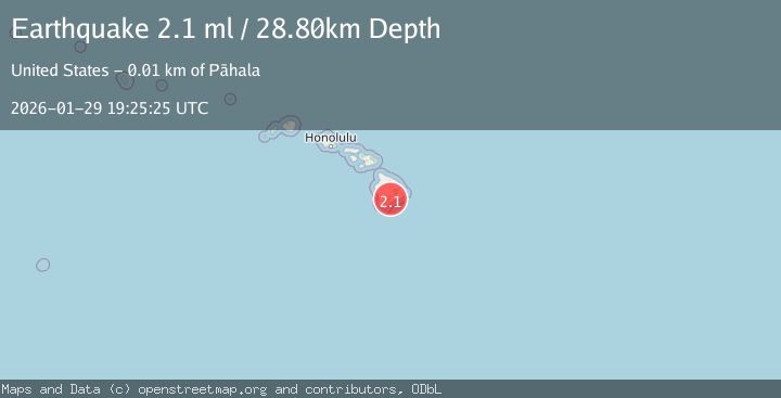
A 2.1 magnitude earthquake struck on 10 km NE of Pāhala, Hawaii, at Thu, 29 Jan 2026 19:25:25 GMT. Depth: 28.8199996948242km. Reviewed by USGS seismologists, this minor quake occurred at a magnitude type of ml.
Magnitude
2.1
ml
Source
USGS
Intensity
-
Agency Reports
2 Sources| Source | Magnitude | Depth | Time |
|---|---|---|---|
| USGSPrimary | 2.1 | 29 km | 3 hours ago |
| HV | 2.1 | 29 km | 3 hours ago |
Earthquake Details
AutomaticEvent IDusgs_hv74888542
Tsunami PotentialNo
Magnitude Typeml
Nearest Places
- Kealaalea Hills2.4 km
- Yellow Cone2.4 km
- Pu‘ukou2.7 km
- Pu‘unāhāhā3.0 km
- Red Cones3.3 km
Comments
Join the discussion about this event.
Latest Earthquakes
2.2Mag
Timor Region
Time3 hours ago
Depth5.01 km
SourceBMKG (Automatic)
3.1Mag
NORTH ISLAND OF NEW ZEALAND
Time4 hours ago
Depth18.60 km
SourceGNS (Automatic)
1.3Mag
3 km SE of The Geysers, CA
Time4 hours ago
Depth2.14 km
SourceUSGS (Automatic)
2.6Mag
WESTERN TURKEY
Time4 hours ago
Depth8.60 km
SourceKOERI (Automatic)
2.5Mag
KERKIRA REGION, GREECE
Time4 hours ago
Depth15.00 km
SourceIGEO (Automatic)
Nearby Earthquakes
2.3Mag
ISLAND OF HAWAII, HAWAII
Time5 days ago
Depth32.00 km
SourceHV (Automatic)
2.0Mag
ISLAND OF HAWAII, HAWAII
Time1 week ago
Depth32.60 km
SourceHV (Automatic)
1.8Mag
11 km NNE of Pāhala, Hawaii
Time4 days ago
Depth26.66 km
SourceUSGS (Automatic)
2.0Mag
ISLAND OF HAWAII, HAWAII
Time3 days ago
Depth30.30 km
SourceHV (Automatic)
2.1Mag
ISLAND OF HAWAII, HAWAII
Time5 days ago
Depth30.30 km
SourceHV (Automatic)