Earthquake 9 km NE of Pāhala, Hawaii
Tue, 10 Feb 2026 06:46:45 GMT
Time3 hours ago
Location
19.2617, -155.4147
Depth
32.4 KM
Event Summary
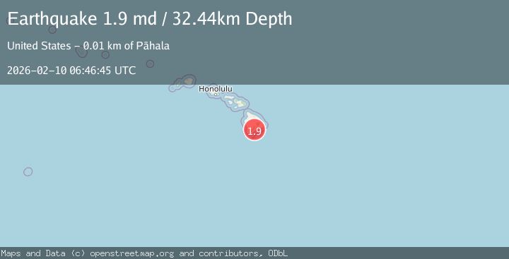
A 1.9 magnitude earthquake struck on 9 km NE of Pāhala, Hawaii, at Tue, 10 Feb 2026 06:46:45 GMT. Depth: 32.439998626709km. Reviewed by USGS seismologists, this minor quake occurred at a magnitude type of md.
Magnitude
1.9
md
Source
USGS
Intensity
-
Agency Reports
1 Sources| Source | Magnitude | Depth | Time |
|---|---|---|---|
| USGSPrimary | 1.9 | 32 km | 3 hours ago |
Earthquake Details
AutomaticEvent IDusgs_hv74897212
Tsunami PotentialNo
Magnitude Typemd
Nearest Places
- Pu‘unāhāhā1.4 km
- Red Cones1.5 km
- Yellow Cone3.2 km
- Kealaalea Hills3.4 km
- Pu‘ukou3.8 km
Comments
Join the discussion about this event.
Latest Earthquakes
2.4Mag
southern Sumatra, Indonesia
Time3 hours ago
Depth0.00 km
SourceVYT (Automatic)
2.4Mag
Java, Indonesia
Time3 hours ago
Depth53.60 km
SourceBMKG
2.2Mag
Alaska Peninsula
Time3 hours ago
Depth27.95 km
SourceVYT (Automatic)
1.0Mag
Pyrenees
Time3 hours ago
Depth0.00 km
SourceVYT (Automatic)
2.1Mag
55 km E of Pedro Bay, Alaska
Time3 hours ago
Depth111.20 km
SourceUSGS (Automatic)
Nearby Earthquakes
2.1Mag
10 km NE of Pāhala, Hawaii
Time1 week ago
Depth28.82 km
SourceUSGS (Automatic)
2.3Mag
ISLAND OF HAWAII, HAWAII
Time2 weeks ago
Depth32.00 km
SourceHV (Automatic)
2.0Mag
ISLAND OF HAWAII, HAWAII
Time2 weeks ago
Depth32.60 km
SourceHV (Automatic)
2.1Mag
ISLAND OF HAWAII, HAWAII
Time2 weeks ago
Depth30.30 km
SourceHV (Automatic)
1.8Mag
11 km NNE of Pāhala, Hawaii
Time2 weeks ago
Depth26.66 km
SourceUSGS (Automatic)