Earthquake 3 km SSW of Pāhala, Hawaii
Sat, 14 Feb 2026 14:55:15 GMT
Time4 days ago
Location
19.1765, -155.4963
Depth
32.8 KM
Event Summary
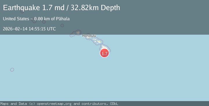
A 1.7 magnitude earthquake struck on 3 km SSW of Pāhala, Hawaii, at Sat, 14 Feb 2026 14:55:15 GMT. Depth: 32.8199996948242km. Reviewed by USGS seismologists, this minor quake occurred at a magnitude type of md.
Magnitude
1.7
md
Source
USGS
Intensity
-
Agency Reports
1 Sources| Source | Magnitude | Depth | Time |
|---|---|---|---|
| USGSPrimary | 1.7 | 33 km | 4 days ago |
Earthquake Details
AutomaticEvent IDusgs_hv74899332
Tsunami PotentialNo
Magnitude Typemd
Nearest Places
- Moaula Kopu Makaka1.8 km
- Puu Kolea2.0 km
- Kanenelu Flat2.2 km
- Moa‘ula Gulch2.2 km
- Lower Moaula Camp2.3 km
Comments
Join the discussion about this event.
Latest Earthquakes
0.7Mag
8 km NW of The Geysers, CA
Time6 minutes ago
Depth1.59 km
SourceUSGS (Automatic)
1.2Mag
Southern Alaska
Time8 minutes ago
Depth16.72 km
SourceVYT (Automatic)
1.6Mag
49 km W of Mentone, Texas
Time8 minutes ago
Depth4.59 km
SourceUSGS (Automatic)
3.1Mag
northern Colombia
Time10 minutes ago
Depth219.97 km
SourceVYT (Automatic)
2.2Mag
Sumbawa Region, Indonesia
Time12 minutes ago
Depth15.54 km
SourceBMKG
Nearby Earthquakes
3.0Mag
ISLAND OF HAWAII, HAWAII
Time2 months ago
Depth32.70 km
SourceHV (Automatic)
3.0Mag
ISLAND OF HAWAII, HAWAII
Time1 year ago
Depth33.80 km
SourceHV (Automatic)
3.0Mag
ISLAND OF HAWAII, HAWAII
Time1 year ago
Depth32.70 km
SourceHV (Automatic)
3.0Mag
ISLAND OF HAWAII, HAWAII
Time10 months ago
Depth31.60 km
SourceHV (Automatic)
2.2Mag
ISLAND OF HAWAII, HAWAII
Time1 month ago
Depth30.70 km
SourceHV (Automatic)