Earthquake 21 km SE of Pāhala, Hawaii
Sat, 21 Feb 2026 20:48:45 GMT
Time1 hour ago
Location
19.0442, -155.3648
Depth
34.2 KM
Event Summary
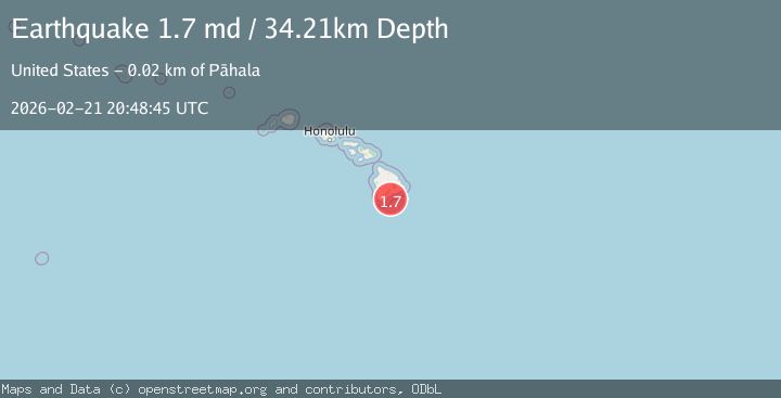
A 1.7 magnitude earthquake struck on 21 km SE of Pāhala, Hawaii, at Sat, 21 Feb 2026 20:48:45 GMT. Depth: 34.2099990844727km. Reviewed by USGS seismologists, this minor quake occurred at a magnitude type of md.
Magnitude
1.7
md
Source
USGS
Intensity
-
Agency Reports
1 Sources| Source | Magnitude | Depth | Time |
|---|---|---|---|
| USGSPrimary | 1.7 | 34 km | 1 hour ago |
Earthquake Details
AutomaticEvent IDusgs_hv74904816
Tsunami PotentialNo
Magnitude Typemd
Nearest Places
- 13.1 km
- 13.5 km
- 14.8 km
- 14.8 km
- 15.0 km
Comments
Join the discussion about this event.
Latest Earthquakes
2.2Mag
Minahasa, Sulawesi, Indonesia
Time1 hour ago
Depth18.92 km
SourceVYT (Automatic)
3.2Mag
Andreanof Islands, Aleutian Islands, Alaska
Time1 hour ago
Depth0.12 km
SourceVYT (Automatic)
2.3Mag
AZORES ISLANDS, PORTUGAL
Time1 hour ago
Depth5.00 km
SourceIPMA (Automatic)
2.1Mag
Tarapaca, Chile
Time1 hour ago
Depth100.10 km
SourceVYT (Automatic)
1.1Mag
55 km WNW of Tatitlek, Alaska
Time1 hour ago
Depth20.40 km
SourceUSGS (Automatic)
Nearby Earthquakes
1.8Mag
21 km SSE of Pāhala, Hawaii
Time1 week ago
Depth31.08 km
SourceUSGS (Automatic)
1.9Mag
21 km SE of Pāhala, Hawaii
Time1 week ago
Depth30.18 km
SourceUSGS (Automatic)
2.0Mag
21 km SSE of Pāhala, Hawaii
Time0 months ago
Depth30.78 km
SourceUSGS (Automatic)
1.8Mag
20 km SSE of Pāhala, Hawaii
Time1 week ago
Depth33.45 km
SourceUSGS (Automatic)
1.7Mag
21 km SSE of Pāhala, Hawaii
Time10 hours ago
Depth35.71 km
SourceUSGS (Automatic)