Earthquake 2 km WNW of The Geysers, CA
Sat, 10 Jan 2026 18:17:53 GMT
Time1 day ago
Location
38.7848, -122.7725
Depth
1.9 KM
Event Summary
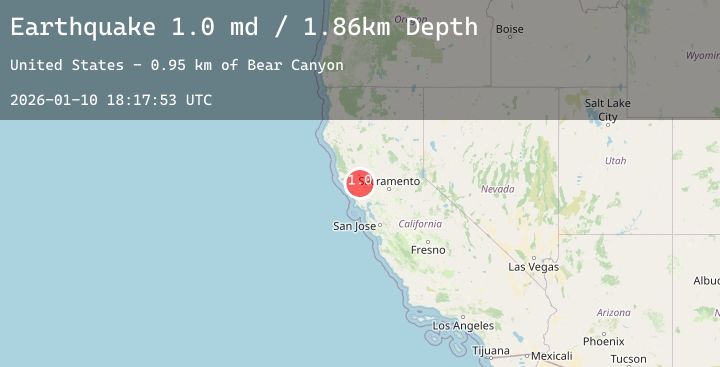
A 1.0 magnitude earthquake struck on 2 km WNW of The Geysers, CA, at Sat, 10 Jan 2026 18:17:53 GMT. Depth: 1.86000001430511km. Reviewed by USGS seismologists, this minor quake occurred at a magnitude type of md.
Magnitude
1.0
md
Source
USGS
Intensity
-
Agency Reports
5 Sources| Source | Magnitude | Depth | Time |
|---|---|---|---|
| USGSPrimary | 1.0 | 2 km | 1 day ago |
| USGSPrimary | 0.5 | 2 km | 1 day ago |
| USGSPrimary | 0.3 | 1 km | 1 day ago |
| USGSPrimary | 0.8 | 4 km | 1 day ago |
| USGSPrimary | 0.7 | 2 km | 1 day ago |
Earthquake Details
AutomaticEvent IDusgs_nc75293646
Tsunami PotentialNo
Magnitude Typemd
Nearest Places
- Hot Springs Creek0.9 km
- Burned Mountain1.3 km
- Dianna Rock1.6 km
- Smudgeo Number 1 Heliport1.7 km
- The Geysers1.9 km
Comments
Join the discussion about this event.
Latest Earthquakes
2.2Mag
Sulawesi, Indonesia
Time1 day ago
Depth3.90 km
SourceBMKG (Automatic)
2.3Mag
Minahassa Peninsula, Sulawesi
Time1 day ago
Depth104.71 km
SourceBMKG (Automatic)
2.1Mag
Sumba Region, Indonesia
Time1 day ago
Depth62.31 km
SourceBMKG (Automatic)
1.7Mag
20 km NNW of Runge, Texas
Time1 day ago
Depth9.35 km
SourceUSGS (Automatic)
1.9Mag
WESTERN TURKEY
Time1 day ago
Depth5.40 km
SourceEMSC (Automatic)
Nearby Earthquakes
0.7Mag
7 km NW of The Geysers, CA
Time1 day ago
Depth2.30 km
SourceUSGS (Automatic)
1.5Mag
8 km NW of The Geysers, CA
Time1 day ago
Depth1.32 km
SourceUSGS (Automatic)
1.6Mag
8 km SE of Lake Pillsbury, CA
Time1 day ago
Depth7.72 km
SourceUSGS (Automatic)
0.8Mag
3 km NE of The Geysers, CA
Time1 day ago
Depth1.61 km
SourceUSGS (Automatic)
1.4Mag
12 km NNW of Angwin, CA
Time1 day ago
Depth6.92 km
SourceUSGS (Automatic)