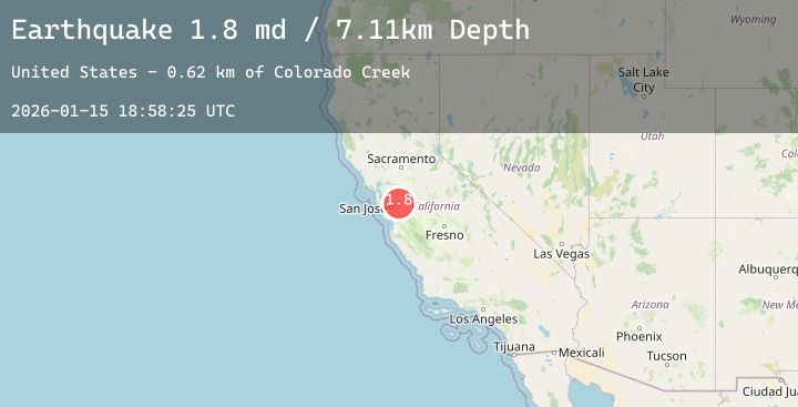
Earthquake 23 km ENE of Alum Rock, CA
Thu, 15 Jan 2026 18:58:25 GMT
Time3 hours ago
Location
37.4642, -121.5935
Depth
7.1 KM
Event Summary
A 1.8 magnitude earthquake struck on 23 km ENE of Alum Rock, CA, at Thu, 15 Jan 2026 18:58:25 GMT. Depth: 7.1100001335144km. Reviewed by USGS seismologists, this minor quake occurred at a magnitude type of md.
Magnitude
1.8
md
Source
USGS
Intensity
-
Agency Reports
2 Sources| Source | Magnitude | Depth | Time |
|---|---|---|---|
| USGSPrimary | 1.8 | 7 km | 3 hours ago |
| USGSPrimary | 1.5 | 3 km | 2 hours ago |
Earthquake Details
AutomaticEvent IDusgs_nc75296221
Tsunami PotentialNo
Magnitude Typemd
Nearest Places
- Colorado Creek0.1 km
- Sherman Flats1.4 km
- Sycamore Creek1.7 km
- Lamb Ridge2.1 km
- Mowry Camp2.2 km
Comments
Join the discussion about this event.
Latest Earthquakes
2.1Mag
17 km E of Ferry, Alaska
Time6 minutes ago
Depth5.00 km
SourceUSGS (Automatic)
0.7Mag
8 km WNW of Cobb, CA
Time6 minutes ago
Depth1.86 km
SourceUSGS (Automatic)
2.5Mag
Northern Sumatra, Indonesia
Time10 minutes ago
Depth21.04 km
SourceBMKG (Automatic)
2.0Mag
Flores Sea
Time14 minutes ago
Depth10.96 km
SourceBMKG (Automatic)
1.9Mag
17 km NW of North Las Vegas, Nevada
Time17 minutes ago
Depth15.94 km
SourceUSGS (Automatic)