Earthquake 14 km WSW of Round Mountain, CA
Sat, 17 Jan 2026 00:19:20 GMT
Time9 hours ago
Location
40.7700, -122.1072
Depth
10.4 KM
Event Summary
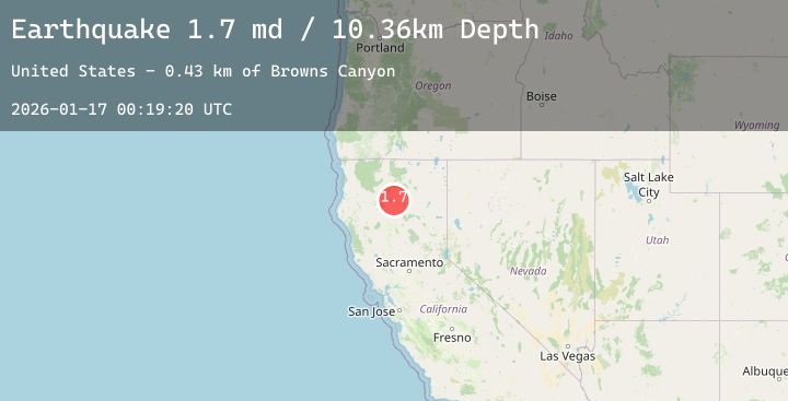
A 1.7 magnitude earthquake struck on 14 km WSW of Round Mountain, CA, at Sat, 17 Jan 2026 00:19:20 GMT. Depth: 10.3599996566772km. Reviewed by USGS seismologists, this minor quake occurred at a magnitude type of md.
Magnitude
1.7
md
Source
USGS
Intensity
-
Agency Reports
1 Sources| Source | Magnitude | Depth | Time |
|---|---|---|---|
| USGSPrimary | 1.7 | 10 km | 9 hours ago |
Earthquake Details
AutomaticEvent IDusgs_nc75296746
Tsunami PotentialNo
Magnitude Typemd
Nearest Places
- Browns Canyon0.4 km
- Arbuckle Flat1.2 km
- Arbuckle Flat Campground1.3 km
- Arbuckle Camp1.4 km
- Arbuckle Creek1.6 km
Comments
Join the discussion about this event.
Latest Earthquakes
2.0Mag
44 km W of Cantwell, Alaska
Time7 hours ago
Depth101.80 km
SourceUSGS (Automatic)
1.2Mag
NORTHERN ITALY
Time7 hours ago
Depth10.90 km
SourceETHZ (Automatic)
1.3Mag
7 km NW of The Geysers, CA
Time7 hours ago
Depth2.74 km
SourceUSGS (Automatic)
1.8Mag
15 km SSE of Toyah, Texas
Time7 hours ago
Depth0.00 km
SourceUSGS (Automatic)
2.3Mag
Timor Region
Time7 hours ago
Depth10.00 km
SourceBMKG (Automatic)
Nearby Earthquakes
No significant earthquakes nearby recently.