Earthquake 5 km NW of The Geysers, CA
Mon, 26 Jan 2026 02:21:23 GMT
Time1 day ago
Location
38.8120, -122.7960
Depth
2.0 KM
Event Summary
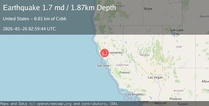
A 1.7 magnitude earthquake struck on 5 km NW of The Geysers, CA, at Mon, 26 Jan 2026 02:21:23 GMT. Depth: 2.02999997138977km. Reviewed by USGS seismologists, this minor quake occurred at a magnitude type of md.
Magnitude
1.7
md
Source
USGS
Intensity
-
Agency Reports
1 Sources| Source | Magnitude | Depth | Time |
|---|---|---|---|
| USGSPrimary | 1.7 | 2 km | 1 day ago |
Earthquake Details
AutomaticEvent IDusgs_nc75301746
Tsunami PotentialNo
Magnitude Typemd
Nearest Places
- Geyser Canyon1.6 km
- Geysers Resort1.8 km
- Cobb Creek2.1 km
- Bear Canyon2.4 km
- Geyser Rock2.5 km
Comments
Join the discussion about this event.
Latest Earthquakes
1.1Mag
30 km NE of Los Alamos, CA
Time10 minutes ago
Depth4.17 km
SourceUSGS (Automatic)
1.2Mag
EASTERN TURKEY
Time10 minutes ago
Depth7.00 km
SourceAFAD (Automatic)
2.6Mag
Timor Region
Time13 minutes ago
Depth35.26 km
SourceBMKG (Automatic)
2.3Mag
Sumbawa Region, Indonesia
Time13 minutes ago
Depth10.00 km
SourceBMKG (Automatic)
2.5Mag
Flores Sea
Time15 minutes ago
Depth26.93 km
SourceBMKG (Automatic)
Nearby Earthquakes
0.9Mag
5 km NW of The Geysers, CA
Time3 hours ago
Depth3.13 km
SourceUSGS (Automatic)
0.7Mag
Northern California
Time1 week ago
Depth3.31 km
SourceUSGS (Automatic)
1.7Mag
6 km NNW of The Geysers, CA
Time2 days ago
Depth2.99 km
SourceUSGS (Automatic)
1.3Mag
6 km NW of The Geysers, CA
Time3 days ago
Depth2.31 km
SourceUSGS (Automatic)
1.1Mag
5 km NNW of The Geysers, CA
Time2 days ago
Depth1.46 km
SourceUSGS (Automatic)