Earthquake 20 km NW of Parkfield, CA
Wed, 28 Jan 2026 21:52:22 GMT
Time1 hour ago
Location
36.0225, -120.5875
Depth
2.0 KM
Event Summary
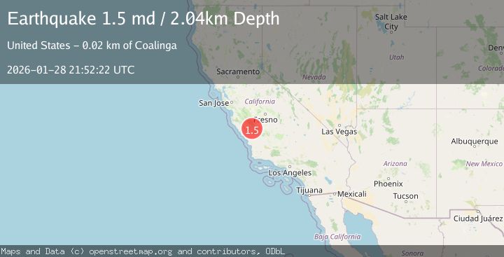
A 1.5 magnitude earthquake struck on 20 km NW of Parkfield, CA, at Wed, 28 Jan 2026 21:52:22 GMT. Depth: 2.03999996185303km. Reviewed by USGS seismologists, this minor quake occurred at a magnitude type of md.
Magnitude
1.5
md
Source
USGS
Intensity
-
Agency Reports
1 Sources| Source | Magnitude | Depth | Time |
|---|---|---|---|
| USGSPrimary | 1.5 | 2 km | 1 hour ago |
Earthquake Details
AutomaticEvent IDusgs_nc75303376
Tsunami PotentialNo
Magnitude Typemd
Nearest Places
- Nelson Creek0.7 km
- Wayland Creek0.7 km
- Hidden Valley1.3 km
- Stone Canyon1.3 km
- Stone Canyon Mine3.6 km
Comments
Join the discussion about this event.
Latest Earthquakes
1.1Mag
10 km NNE of Cabazon, CA
Time8 minutes ago
Depth17.19 km
SourceUSGS (Automatic)
1.4Mag
2 km ESE of La Mirada, CA
Time12 minutes ago
Depth6.87 km
SourceUSGS (Automatic)
1.6Mag
PORTUGAL
Time20 minutes ago
Depth23.10 km
SourceIGN (Automatic)
2.0Mag
10 km NNW of Pinnacles, CA
Time28 minutes ago
Depth2.80 km
SourceUSGS (Automatic)
4.8Mag
MORO GULF, MINDANAO, PHILIPPINES
Time34 minutes ago
Depth15.00 km
SourcePIVS (Automatic)
Nearby Earthquakes
1.7Mag
16 km NW of Parkfield, CA
Time8 hours ago
Depth1.32 km
SourceUSGS (Automatic)
1.4Mag
15 km NW of Parkfield, CA
Time2 days ago
Depth3.45 km
SourceUSGS (Automatic)
2.0Mag
CENTRAL CALIFORNIA
Time1 week ago
Depth2.90 km
SourceNC (Automatic)
0.8Mag
24 km E of San Ardo, CA
Time6 days ago
Depth-0.70 km
SourceUSGS (Automatic)
0.6Mag
12 km WSW of Parkfield, CA
Time6 days ago
Depth11.00 km
SourceUSGS (Automatic)