Earthquake 8 km WNW of The Geysers, CA
Thu, 29 Jan 2026 05:28:29 GMT
Time3 hours ago
Location
38.8140, -122.8307
Depth
1.2 KM
Event Summary
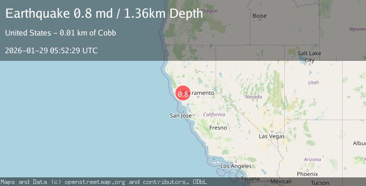
A 0.8 magnitude earthquake struck on 8 km WNW of The Geysers, CA, at Thu, 29 Jan 2026 05:28:29 GMT. Depth: 1.1599999666214km. Reviewed by USGS seismologists, this minor quake occurred at a magnitude type of md.
Magnitude
0.8
md
Source
USGS
Intensity
-
Agency Reports
1 Sources| Source | Magnitude | Depth | Time |
|---|---|---|---|
| USGSPrimary | 0.8 | 1 km | 3 hours ago |
Earthquake Details
AutomaticEvent IDusgs_nc75303561
Tsunami PotentialNo
Magnitude Typemd
Nearest Places
- Eagle Rock1.2 km
- Adit Number Two1.2 km
- Adit Number One-One Hundred Twenty1.4 km
- Adit Number One1.4 km
- Buckman Mines Headquarters1.6 km
Comments
Join the discussion about this event.
Latest Earthquakes
2.1Mag
FRANCE
Time3 minutes ago
Depth10.10 km
SourceReNaSS (Automatic)
1.4Mag
21 km NNE of Indio, CA
Time6 minutes ago
Depth5.15 km
SourceUSGS (Automatic)
1.8Mag
17 km NE of Girdwood, Alaska
Time9 minutes ago
Depth5.00 km
SourceUSGS (Automatic)
2.8Mag
Java, Indonesia
Time13 minutes ago
Depth24.37 km
SourceBMKG (Automatic)
0.8Mag
4 km NW of The Geysers, CA
Time27 minutes ago
Depth2.91 km
SourceUSGS (Automatic)
Nearby Earthquakes
1.3Mag
7 km NW of The Geysers, CA
Time5 days ago
Depth2.55 km
SourceUSGS (Automatic)
1.4Mag
7 km NW of The Geysers, CA
Time4 days ago
Depth2.62 km
SourceUSGS (Automatic)
1.4Mag
7 km NW of The Geysers, CA
Time4 days ago
Depth1.08 km
SourceUSGS (Automatic)
1.3Mag
7 km NW of The Geysers, CA
Time4 days ago
Depth0.77 km
SourceUSGS (Automatic)
1.0Mag
7 km NW of The Geysers, CA
Time2 days ago
Depth0.87 km
SourceUSGS (Automatic)