Earthquake 6 km WSW of Gilroy, CA
Thu, 29 Jan 2026 17:28:22 GMT
Time5 hours ago
Location
36.9800, -121.6262
Depth
4.8 KM
Event Summary
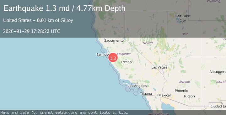
A 1.3 magnitude earthquake struck on 6 km WSW of Gilroy, CA, at Thu, 29 Jan 2026 17:28:22 GMT. Depth: 4.76999998092651km. Reviewed by USGS seismologists, this minor quake occurred at a magnitude type of md.
Magnitude
1.3
md
Source
USGS
Intensity
-
Agency Reports
1 Sources| Source | Magnitude | Depth | Time |
|---|---|---|---|
| USGSPrimary | 1.3 | 5 km | 5 hours ago |
Earthquake Details
AutomaticEvent IDusgs_nc75303816
Tsunami PotentialNo
Magnitude Typemd
Nearest Places
- Wildcat Canyon2.2 km
- Sprig Lake2.6 km
- Debell 628 Dam2.7 km
- McCutchin Canyon3.1 km
- Ousley Canyon3.3 km
Comments
Join the discussion about this event.
Latest Earthquakes
4.1Mag
SOUTHERN YUKON TERRITORY, CANADA
Time15 minutes ago
Depth0.50 km
SourceAK (Automatic)
3.1Mag
ISLAND OF HAWAII, HAWAII
Time15 minutes ago
Depth6.90 km
SourceHV (Automatic)
2.6Mag
WESTERN TURKEY
Time21 minutes ago
Depth8.10 km
SourceKOERI (Automatic)
1.1Mag
7 km NNE of Beaumont, CA
Time36 minutes ago
Depth8.31 km
SourceUSGS (Automatic)
3.0Mag
Sumba Region, Indonesia
Time42 minutes ago
Depth29.13 km
SourceBMKG (Automatic)
Nearby Earthquakes
1.5Mag
6 km SW of Gilroy, CA
Time2 days ago
Depth2.74 km
SourceUSGS (Automatic)
2.0Mag
CENTRAL CALIFORNIA
Time1 day ago
Depth0.60 km
SourceNC (Automatic)
1.4Mag
10 km N of Hollister, CA
Time3 days ago
Depth10.13 km
SourceUSGS (Automatic)
1.1Mag
6 km SE of San Juan Bautista, CA
Time1 week ago
Depth5.17 km
SourceUSGS (Automatic)
1.4Mag
18 km NNE of Hollister, CA
Time4 days ago
Depth10.28 km
SourceUSGS (Automatic)