Earthquake 13 km E of Mammoth Lakes, CA
Mon, 02 Feb 2026 10:05:43 GMT
Time16 hours ago
Location
37.6463, -118.8357
Depth
7.3 KM
Event Summary
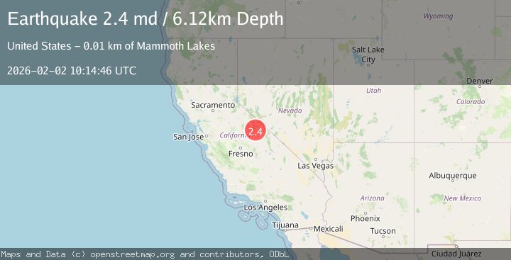
A 2.4 magnitude earthquake struck on 13 km E of Mammoth Lakes, CA, at Mon, 02 Feb 2026 10:05:43 GMT. Depth: 7.26999998092651km. Reviewed by USGS seismologists, this minor quake occurred at a magnitude type of md.
Magnitude
2.4
md
Source
USGS
Intensity
-
Agency Reports
2 Sources| Source | Magnitude | Depth | Time |
|---|---|---|---|
| USGSPrimary | 2.4 | 6 km | 16 hours ago |
| NC | 2.4 | 6 km | 16 hours ago |
Earthquake Details
AutomaticEvent IDusgs_nc75305451
Tsunami PotentialNo
Magnitude Typemd
Nearest Places
Comments
Join the discussion about this event.
Latest Earthquakes
1.5Mag
17 km E of Ferry, Alaska
Time2 hours ago
Depth5.00 km
SourceUSGS (Automatic)
2.5Mag
Flores Region, Indonesia
Time2 hours ago
Depth170.05 km
SourceBMKG (Automatic)
1.7Mag
44 km NW of Tatitlek, Alaska
Time2 hours ago
Depth5.00 km
SourceUSGS (Automatic)
2.1Mag
Sumbawa Region, Indonesia
Time2 hours ago
Depth10.00 km
SourceBMKG (Automatic)
1.8Mag
4 km SE of San Ramon, CA
Time2 hours ago
Depth6.96 km
SourceUSGS (Automatic)
Nearby Earthquakes
1.2Mag
13 km E of Mammoth Lakes, CA
Time9 hours ago
Depth7.64 km
SourceUSGS (Automatic)
1.0Mag
7 km ENE of Mammoth Lakes, CA
Time2 days ago
Depth2.21 km
SourceUSGS (Automatic)
1.3Mag
12 km W of Toms Place, CA
Time1 day ago
Depth6.44 km
SourceUSGS (Automatic)
1.4Mag
11 km W of Toms Place, CA
Time1 week ago
Depth1.29 km
SourceUSGS (Automatic)
1.4Mag
13 km SE of Mammoth Lakes, CA
Time1 week ago
Depth4.21 km
SourceUSGS (Automatic)