Earthquake 9 km E of Alum Rock, CA
Wed, 04 Feb 2026 15:20:16 GMT
Time1 hour ago
Location
37.3668, -121.7268
Depth
-0.4 KM
Event Summary
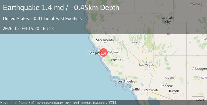
A 1.4 magnitude earthquake struck on 9 km E of Alum Rock, CA, at Wed, 04 Feb 2026 15:20:16 GMT. Depth: -0.449999988079071km. Reviewed by USGS seismologists, this minor quake occurred at a magnitude type of md.
Magnitude
1.4
md
Source
USGS
Intensity
-
Agency Reports
1 Sources| Source | Magnitude | Depth | Time |
|---|---|---|---|
| USGSPrimary | 1.4 | -0 km | 1 hour ago |
Earthquake Details
AutomaticEvent IDusgs_nc75308332
Tsunami PotentialNo
Magnitude Typemd
Nearest Places
Comments
Join the discussion about this event.
Latest Earthquakes
2.5Mag
NEAR S.E. COAST OF AUSTRALIA
Time10 minutes ago
Depth3.00 km
SourceAUST (Automatic)
2.3Mag
Sulawesi, Indonesia
Time13 minutes ago
Depth5.00 km
SourceBMKG (Automatic)
1.4Mag
16 km NW of Midland, Texas
Time20 minutes ago
Depth5.84 km
SourceUSGS (Automatic)
3.6Mag
GUATEMALA
Time23 minutes ago
Depth2.00 km
SourceINET (Automatic)
4.0Mag
Banda Sea
Time24 minutes ago
Depth272.05 km
SourceBMKG (Automatic)
Nearby Earthquakes
1.9Mag
9 km E of Alum Rock, CA
Time6 days ago
Depth6.05 km
SourceUSGS (Automatic)
2.1Mag
SAN FRANCISCO BAY AREA, CALIF.
Time1 day ago
Depth7.70 km
SourceNC (Automatic)
1.4Mag
13 km N of Morgan Hill, CA
Time1 week ago
Depth3.37 km
SourceUSGS (Automatic)
2.4Mag
NORTHERN CALIFORNIA
Time5 days ago
Depth8.10 km
SourceNC (Automatic)
1.4Mag
12 km SE of Sunol, CA
Time1 week ago
Depth2.44 km
SourceUSGS (Automatic)