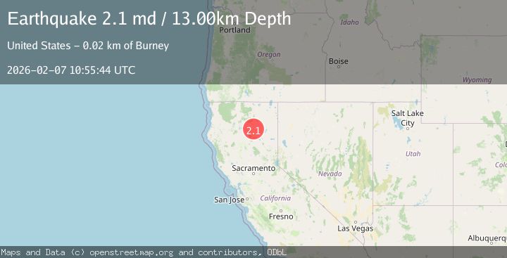
Earthquake 23 km SE of Burney, CA
Sat, 07 Feb 2026 10:32:59 GMT
Time1 hour ago
Location
40.7240, -121.4833
Depth
9.4 KM
Event Summary
A 2.1 magnitude earthquake struck on 23 km SE of Burney, CA, at Sat, 07 Feb 2026 10:32:59 GMT. Depth: 9.38000011444092km. Reviewed by USGS seismologists, this minor quake occurred at a magnitude type of md.
Magnitude
2.1
md
Source
USGS
Intensity
-
Agency Reports
2 Sources| Source | Magnitude | Depth | Time |
|---|---|---|---|
| USGSPrimary | 2.1 | 13 km | 1 hour ago |
| NC | 2.1 | 13 km | 1 hour ago |
Earthquake Details
AutomaticEvent IDusgs_nc75310022
Tsunami PotentialNo
Magnitude Typemd
Nearest Places
- McElroy Flat0.3 km
- Wilcox Trail2.1 km
- Wilcox Spring2.7 km
- Tamarack Swale3.0 km
- Congressional District 13.3 km
Comments
Join the discussion about this event.
Latest Earthquakes
2.7Mag
59 km W of Anchor Point, Alaska
Time11 minutes ago
Depth105.80 km
SourceUSGS (Automatic)
2.6Mag
ANTOFAGASTA, CHILE
Time18 minutes ago
Depth132.50 km
SourceCSN (Automatic)
2.2Mag
Halmahera, Indonesia
Time21 minutes ago
Depth49.18 km
SourceBMKG (Automatic)
1.6Mag
STRAIT OF GIBRALTAR
Time26 minutes ago
Depth0.00 km
SourceIGN (Automatic)
1.0Mag
18 km NNW of Borrego Springs, CA
Time32 minutes ago
Depth14.33 km
SourceUSGS (Automatic)
Nearby Earthquakes
2.4Mag
LASSEN PEAK AREA, CALIFORNIA
Time1 week ago
Depth0.60 km
SourceNC (Automatic)
1.9Mag
12 km W of Manton, CA
Time1 week ago
Depth16.02 km
SourceUSGS (Automatic)
2.1Mag
NORTHERN CALIFORNIA
Time1 week ago
Depth13.40 km
SourceNC (Automatic)
2.7Mag
NORTHERN CALIFORNIA
Time1 week ago
Depth5.80 km
SourceNC (Automatic)
2.0Mag
NORTHERN CALIFORNIA
Time1 week ago
Depth15.40 km
SourceNC (Automatic)